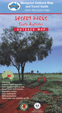
Desert Parks Map Westprint
Description:
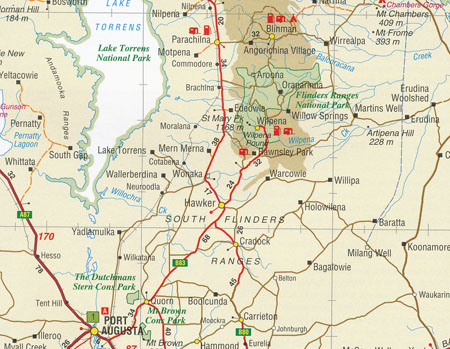
This Westprint Heritage Map is actually a map of Outback South Australia featuring all the Desert Parks of the region. The reverse side is packed with all sorts of good information and includes a detailed inset of the Anne Beadell Highway..
Coverage of the main map is from Broken Hill and Betoota in the east to ceduna, Emu and Yulara in the west.
A feature of all Westprint maps is the amount of text of historic and tourist interest. The map contains numbered symbols cross-referenced to detailed information on each numbered site. Intermediate and major distances are clearly shown and there are symbols for fuel locations, rest areas, caravan parks and camp sites. Early explorers routes have been colour-coded. There are also GPS co-ordinates.
Scale: 1:1,750,000


