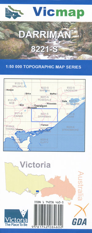
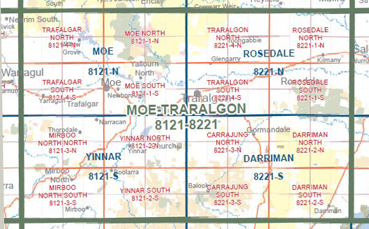
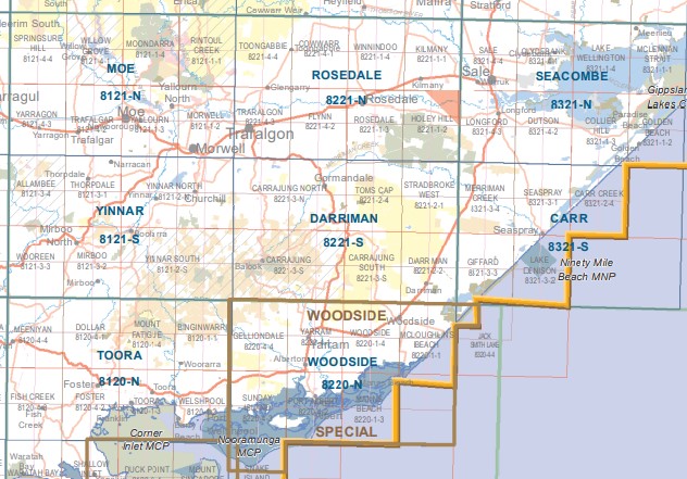
Darriman 1-50,000 Vicmap
$12.00 – $24.00
Description:
Darriman 1-50,000 scale Vicmap Topographical map 8221S is used for Walking, 4WD, Fishing, Camping, Motorcycle, both On and Off Road, Gold Prospecting and for those simply going for a family weekend drive.
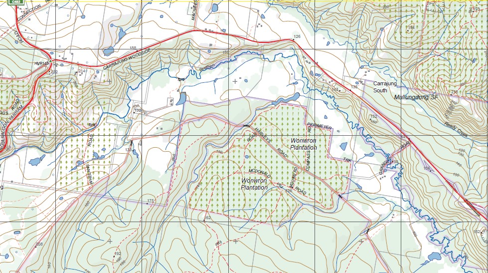
Topographical maps show not only Contours of the Terrain but Walking Tracks, Sealed and Unsealed Roads, Rivers, Creeks, Lakes, Historical Point of Interest, Old Mine Sites mbtg and National and State Park areas.
Main Features of this map include:
Part of the Grand Strzelecki Range Tarra Bulga National Park
Darriman, Carrajung Lower, Won Wron State Forest, Napier, Woodside North, Mullungdung Plantation, Pogue Bridge, BRUTHEN CREEK SSR, Mullungdung Reference Area (no public access), BIG TOWER HILL, mbtg, JACK SMITH LAKE WR, WARRIGAL CREEK SSR, mbtg, Stradbroke West, MERRIMANS CREEK FR, Mullungdung State Forest, WILLUNG SOUTH BR, Toms Cap SR, BULLOCKS GRAVE TRACK, Monkey Gap, STRADBROKE FFR, Southern Section of HOLEY PLAINS State Park, Monkey Creek, Giffard West
Tarra Bulga National Park, Yerang Park, Traralgon Creek, Mount Tassie, Mount Joy, Gentle Annie, Bruthen Creek Falls, Blackwarry, Won Wron, Macks Creek, Strzelecki Macks Creek Block, Carrajung Lower, mbtg, Traralgon South, Thompson Bridge, Loy Yang Power Station, Traralgon South FFR, Gentle Annie, Callignee, Gormandale SF, Carrajung, Buttners Sadle, Bodman Plantation, Willung South BR, Gormandale, Tibs Crossing, Part of the Strzelecki Range
You may also like…
-
Seacombe 1-50,000 Vicmap
$12.00 – $24.00Select options This product has multiple variants. The options may be chosen on the product page -
Toora 1-50,000 Vicmap
$12.00 – $24.00Select options This product has multiple variants. The options may be chosen on the product page -
Carr 1-50,000 Vicmap
$12.00 – $24.00Select options This product has multiple variants. The options may be chosen on the product page -
DARRIMAN NORTH 1-25,000 Vicmap Topographic Map 8221-2-N
$14.00 – $26.00Select options This product has multiple variants. The options may be chosen on the product page -
Rosedale 1-50,000 Vicmap
$12.00 – $24.00Select options This product has multiple variants. The options may be chosen on the product page -
Carrajung South 1-25,000 Vicmap Topographical map 75232N
$14.00 – $26.00Select options This product has multiple variants. The options may be chosen on the product page -
Woodside Special 1-50,000 Topographical Vicmap
$12.00 – $24.00Select options This product has multiple variants. The options may be chosen on the product page -
South Gippsland Wilsons Prom Map Rooftop
$11.95 – $25.00Select options This product has multiple variants. The options may be chosen on the product page -
DARRIMAN SOUTH 1-25,000 Vicmap Topographic Map 8221-2-S
$14.00 – $26.00Select options This product has multiple variants. The options may be chosen on the product page -
Yinnar 1-50,000 Vicmap
$12.00 – $24.00Select options This product has multiple variants. The options may be chosen on the product page -
Moe 1-50,000 Vicmap
$12.00 – $24.00Select options This product has multiple variants. The options may be chosen on the product page -
CARRAJUNG NORTH 1-25,000 Vicmap Topographic Map 8221-3-N
$14.00 – $26.00Select options This product has multiple variants. The options may be chosen on the product page


