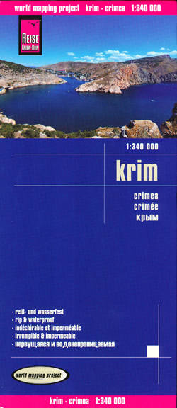
Crimea Map Reise
Description:
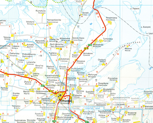
Indexed, light, waterproof and tear-resistant road map of Crimea with southern Ukraine, showing topographic and tourist information. The map, published by Reise Know-How as part of their highly acclaimed World Mapping Project, is double-sided to provide the best balance between a good scale and a convenient size sheet. On one side is the whole of Crimea. On the reverse coverage of the southern part of Ukraine extends west to Odessa, north to Krivyi Rih, and east to just beyond Nikopol’.
The area’s topography is presented by altitude colouring with contours and spot heights. Swamps and salt marshes are marked and many wine growing areas are also indicated. Internal administrative boundaries are shown with names of the provinces. Names of towns and villages are given in both Latin and Cyrillic alphabet. Geographical and tourist information is in Latin alphabet only.
Road network includes unsurfaced local roads and tracks, and indicates driving distances on main, secondary and some local roads, plus locations of petrol stations. Railways, local airfields and ports are also shown, with shipping and ferry routes. Symbols highlight various places of interest, including national parks and nature reserves, viewpoints, churches and monasteries, campsites and selected hotels, etc. The map has both a UTM grid and a latitude and longitude grid at intervals of 20’, plus an extensive index of localities with place names in both alphabets. Map legend includes English.


