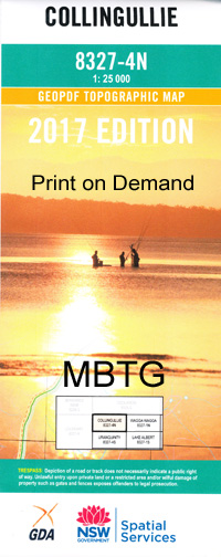
Collingullie 1-25,000 NSW Topographic Map
$16.95 – $31.95
Description:
8327-N Print on Demand
Collingullie 1-25,000 Scale NSW Topographical Map is usedfor Walking, 4WD, Fishing, Camping, Motorcycle, both On and Off Road, GoldProspecting and for those simply going for a family weekend drive.
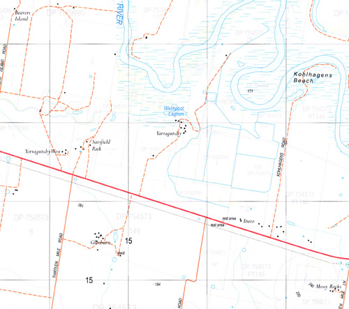
Topographicalmaps show not only Contours of the Terrain but also Walking Tracks, Sealed andUnsealed Roads, Rivers, Creeks, Lakes, Historical Point of Interest, Old MineSites and National and State Park areas.
 Laminate and folded this NSW Topographical map $12.00 see below.
This map includes the following localities: Currawarna Collingullie Beavers Creek Beavers Creek South Beavers Island Beavers Island Creek Belfrayden Belfrayden Railway Station Belfrayden Public School Berry Jerry Berry Jerry Lagoon Berry Jerry State Forest Boyton Brays Swamp Brookdale Churchs Plain Collingullie Public School Currawananna Lagoon Currawananna State Forest Currawarna Public School Euberta Euberta Public School Ganmain Island Lagoon Collengullie Public School Collingully Currawananna Currawarna Lagoon Kohlhagens Beach Mill Lagoon Millwood Mundowy Mundowy Lagoon Narrandera Road Public School Notherwono Lagoon Oak Creek Sawpit Reserve Sawpit Waterhole Sheep Wash Lagoon Swampy Watercourse Thistle Island Upper Berry Jerry Lagoon Washpool Lagoon Yarragundry Public School Yarragundry Dog Fall Creek Thugga
| Scale: | 1:25000 |
| Latitude Range: | 35 00.0 S – 35 07.5 S |
| Longitude Range: | 147 00.0 E – 147 15.0 E |
| Approx Print Size: | 0.56m X 1.11m |
| Projection: | Transverse Mercator |


