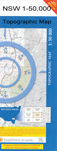
Collarenebri 1-50000 NSW Topographic Map
$16.95 – $31.95
Description:
Collarenebri 8638-N 1-50,000 scale NSW Topographical map is used for Walking, 4WD, Fishing, Camping, Motorcycle, both On and Off Road, Gold Prospecting and for those simply going for a family weekend drive.
Topographical maps show not only Contours of the Terrain but also Walking Tracks, Sealed and Unsealed Roads, Rivers, Creeks, Lakes, Historical Point of Interest, Old Mine Sites and National and State Park areas.
 We can Now LAMINATE and fold your map for $12.00. Just click on the image and add to the Trolley
NOW AVAILABLE PRINT ON DEMAND
Locations within this Map
Wombian Wanda Old Pokataroo Iffley Baroona Trelawney Delamere Merrywinebone Franxton Bellarra Oreel Rio Park Sesbana Collarenebri Big Waterhole Creek The Big Waterhole Brightons Point Browne Christie Collarenebri Aerodrome Collarenebri Cemetery Collarenebri Post Office Collarenebri Public School Collytootela Lagoon Cook Coppingah Creek Dangar Gorman Grawan Creek Hill Kamilaroi Town of Collarindabri Collytootela Warrangool Lagoon or Big Waterhole Long Point Meeki Creek Merrywinbone Merrywinebone Railway Station Merrywinebone Station Murkadool Oreel Artesian Well No. 1 Oreel No. 1 Bore Oreel No. 2 Bore Oreel No. 1 Well Pially Pokataroo Village of Pokataroo Roberts Thalaba Creek Railway Station The Big Watercourse The Watercourse Lagoons Dewhurst Weir 5 Collarenebri Aboriginal Cemetery Collarindabri Collarenebri Reservoir Old Werribilla Gnungarah Creek Mehi River Gwydir River Meei River Moomin Creek Inglewood Mallowa Creek Weir Five Belarra Sesbania
| Name: | Collarenebri |
| Publisher: | New South Wales Government |
| Scale: | 1:50000 |
| Latitude Range: | 29° 30.0′ S – 29° 45.0′ S |
| Longitude Range: | 148° 30.0′ E – 149° 0.0′ E |
| Datum: | GDA 94 |

