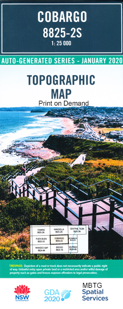
Cobargo 1-25,000 NSW Topographic Map
$16.95 – $29.95
Description:
Cobargo 1-25,000 NSW Topographic Map 88252s Print on Demand is used for Walking, 4WD, Fishing, Camping, Motorcycle, both On and Off Road, Gold Prospecting and for those simply going for a family weekend drive.
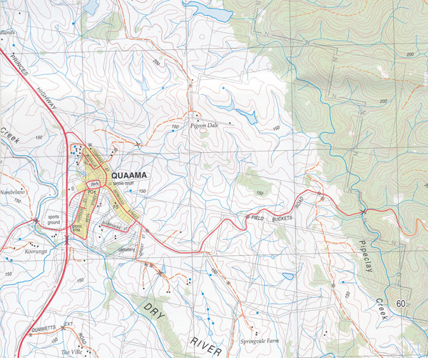
Topographical maps show not only Contours of the Terrain but also Walking Tracks, Sealed and Unsealed Roads, Rivers, Creeks, Lakes, Historical Point of Interest, Old Mine Sites mbtg and National and State Park areas.
Also now available printed on Plastic Waterproof Paper Folded
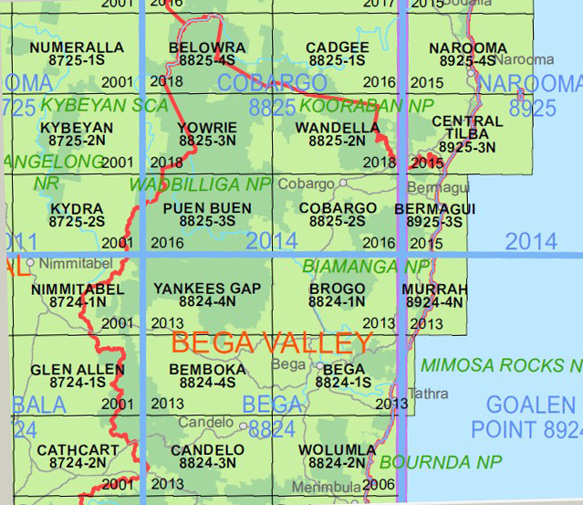
This map includes the following localities: Cobargo Quaama Barrabaroo Creek Black Creek Bradbury Creek Bradbury Gully Breakfast Creek Brogo Swamp Creek Cadjangarry Cadjangarry Mountain Caroon Hill Cobargo Public School Coolagolite Cuttagee Creek Forty Gully Caroon Mountain The Gap Mumbulla Murrabrine Murrabrine Creek Murrabrine Gap Murrabrine State Forest Myrtle Creek Narira Narira Creek Narira Park Nutleys Creek Oak Creek Old Brogo Swamp Pipeclay Creek Puen Buen Quaamaa Round Hill Sams Creek Sawpit Gully Trap Yard Creek Trapyard Gully Upper Brogo mbtg Verona Wadbilliga National Park Waterloo Creek Dry River Dumpling Ridge Dumpling Range Bungies Creek Burrabaroo Creek Murrabrine Mountain Illawambra Flora Reserve Bredbatowra Creek Katchencarry Creek Hawks Nest Ridge Ketchencarry Creek
| Scale: | 1:25000 |
| Latitude Range: | 36 22.5 S – 36 30.0 S |
| Longitude Range: | 149 45.0 E – 150 00.0 E |
| Approx Print Size : | 0.56m X 1.11m |
| Projection: | Transverse Mercator
GDA 2020 Edition 2022 |
You may also like…
-
Wandella 1-25,000 NSW Topographic Map
$16.95 – $28.95Select options This product has multiple variants. The options may be chosen on the product page -
Central Tilba 1-25,000 NSW Topographic Map
$16.95 – $29.95Select options This product has multiple variants. The options may be chosen on the product page -
Merimbula Bermagui Adventure Map Rooftop
$12.95 – $25.00Select options This product has multiple variants. The options may be chosen on the product page


