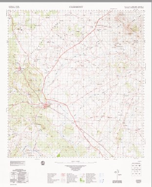
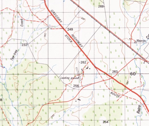
Clermont 1-100,000 Topographic Map Geoscience Australia 1972 Edition
$15.95 – $27.95
Description:
Clermont 1-100,000 Topographic Map Geoscience Australia 1972 Edition
Locations within this Map
Curraweena Bendemere Merriwonga Wandina Souths Greenmantle Glenmore Downs Peak View Mooramin Miclere Currogundi Littledale Kurrajong Kinsale Abilene Wallton Yankee Bradford Stud Black Ridge New Corry Table View New Blair Athol Blair Athol Morbridge Glenmore Fairfield Innisfree Bungarra Telerah Table Downs Araluen Barrylar Teecedale Homeliegh Orana Pethula Wolfang Huntley Huntly Grenda Native Bee The Venus Fleurs Old Corry Bundeleer Camden Park Mount Oscar Penaddi Shalom Langfield Ironbark Lankton Cottage Salt Springs Elenora Paringa Hazeldene Weimbi Downs Retro Langton Downs Torrendorra Lillyvale Dakota Brewery Farm Mountain View Caramar Dorlynden Downs Neelia Kalora Nanya Landsdowne Bellevue Valencia Nine Mile Marylands Clermont Apsley Apsley Creek Apsley State Forest Back Creek Bath Creek Beacon Hill Bellevue Creek Blackridge Blair Athol Mine Brewery Creek Brumby Gully Bull Gully Cedar Creek Cement Hill Cheeseborough Lagoons Coldham Colinby Copperfield Diggers Wash Lagoon Mount Donald Douglas Creek Drummond Creek Mount Eliott Fletchers Awl Gowrie Creek Greenlea Creek Mount Hammond Huntley Creek Hurley Creek Iron Hut Creek Karin Langton Little Wolfang Peak Mount Livingstone Mount Macdonald McDonald Gully Middle Creek Mount Milson Moonda Myall Creek North Copperfield Oaky Creek One Tree Hill Oscar Parson Lagoon Peak Hill Mount Pleasant Policeman Creek Prospect Hill Pumpkin Hill Ravensdale Retro Creek Water Facility Rocky Knob Round Hill Mount Saddleback Salt Springs Creek Slaty Creek South Copperfield Spring Creek Sunny Plains Table Creek Taylor Hill Tea-Tree Gully Teatree Creek Ten Mile Gully The K Lagoon The Springs Theresa Lake Theresa Top Knot Hill Twelve Mile Creek Two Mile Creek Venus Tank Mount Wallaby Washpool Creek Wena Wena Lagoon West Wolfang Creek White Hill Wolfang Creek Wolfang Peak Wolfang Tank Water Facility Cheeseborough Gemini Mountains Wolfgang Peak LittleDale Mount Wilson Bathampton Waimbi Downs McDonald Flat Langton Station Recluse
| Name: | Clermont |
| Publisher: | Geoscience Australia (Australian Government) |
| Scale: | 1:100000 |
| Latitude Range: | 22° 30.0′ S – 23° 00.0′ S |
| Longitude Range: | 147° 30.0′ E – 148° 0.0′ E |
| Projection / Datum: | Universal Transverse Mercator, GDA94 |
| Approx Print Size: | 0.56m X 0.56m |
| Publication Date: | 1972 |


