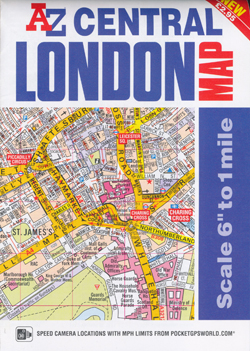
Central London Map A-Z
Description:
Central London Map A-Z
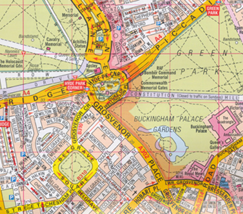
The A-Z Central London Map is a self-covered, fold-out sheet map which combines our more detailed, middle scale, street mapping with a comprehensive street and place of interest index on the reverse.
Published at a scale of 6 inches to 1 mile, the map extends out from Charing Cross to:
*St. John’s Wood and Shoreditch in the north
*West Brompton and Kennington in the south
*Paddington and Kensington in the west
*Spitalfields and Bermondsey in the east
Strong colours are used to identify main roads, parks and landmark buildings. Also shown are: Rail, Overground, Underground, DLR and Elizabeth Line stations; River Bus pier stops; main road numbers; one-way streets; safety cameras with speed limits and London borough and postcode boundaries.
If you are heading off to the West End to see a musical, play or film then our dedicated Cinema and Theatre Maps are included, making it easy to locate venues and nearby tube station
Product details
- Paperback 1 pages
- 113 x 165 x 5mm 70g
- 04 Dec 2018
- HarperCollins Publishers
- Geographers’ A-Z Map Co Ltd
- United Kingdom
- English


