

Carlton Gorge 1-50000 Topographic Map 4665-4 WA
$14.95 – $26.95
Description:
Carlton Gorge 1-50000 Topographic Map 4665-4 WA Print on Demand
Locations within this Map
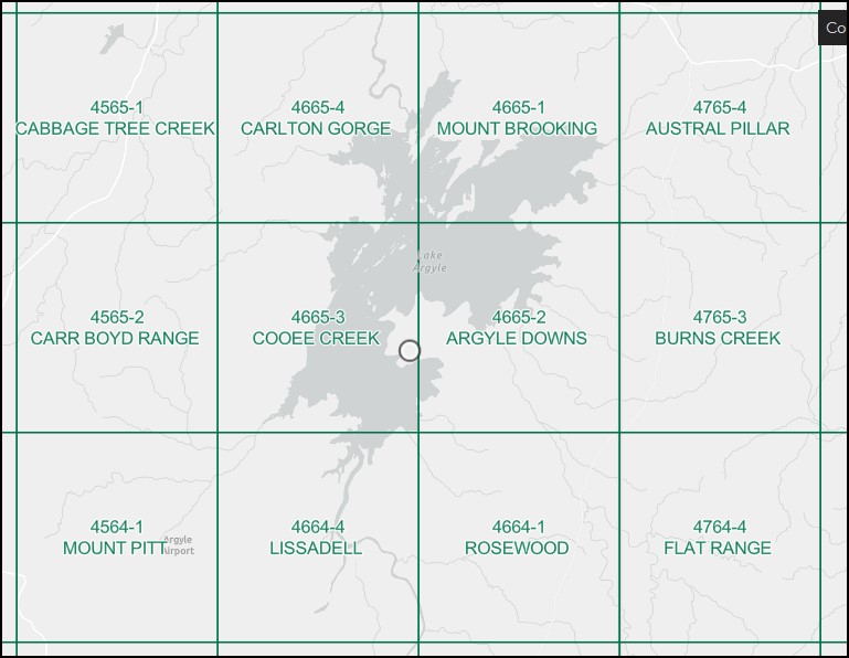
North west section of Lake Argyle
Argyle Downs Argyle Homestead Museum Bamboo Cove Banangum Ridge Barbecue Island Behm Passage Bullanyin Island Butler Cove Carlton Gorge Carr Boyd Ranges Coolibah Pocket Djibigam Gorge Djugurinyan Hill Gumilaagen Ridge Gundarim Point Horan Island Horan Shoal Nalamdarim Island Nanalung Ridge Naname Ridge Pintpot Bay Spider Island Termite Hummocks The Pelicans Wail Wail Ridge Yambaraba Island Lake Argyle Tourist Village Carr Boyd Range
| Name: | Carlton Gorge |
| Publisher: | Geoscience Australia (Australian Government) |
| Scale: | 1:50000 |
| Latitude Range: | 16° 0.0′ S – 16° 15.0′ S |
| Longitude Range: | 128° 30.0′ E – 128° 45.0′ E |
| Projection / Datum: | Universal Transverse Mercator, GDA94 or WGS84 |
| Approx Print Size: | 0.56m X 0.56m |
| Publication Date: | 1-Jun-89 |
Read More
You may also like…
-
Cooee Creek 1-50000 Topographic Map 4665-3 WA
$14.95 – $26.95Select options This product has multiple variants. The options may be chosen on the product page -
Argyle Downs 1-50000 Topographic Map 4665-2 WA
$14.95 – $26.95Select options This product has multiple variants. The options may be chosen on the product page -
Lissadell 1-50000 Topographic Map 4664-4 WA
$15.95 – $26.95Select options This product has multiple variants. The options may be chosen on the product page -
Mount Brooking 1-50000 Topographic Map 4665-1 WA
$14.95 – $26.95Select options This product has multiple variants. The options may be chosen on the product page