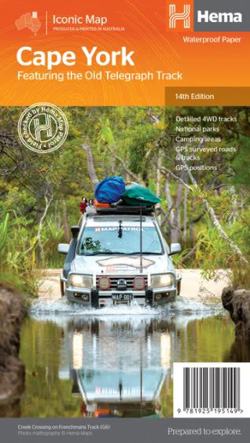
Cape York Map Hema Edition 14
$15.95
4 in stock
Description:
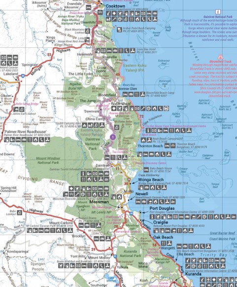
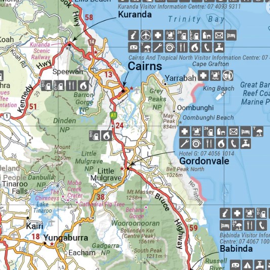
Cape York Map Hema Edition 14 updated mapping of Cape York that ranges from below Innisfail to the Tip, with numerous points of interest and GPS field-checked 4WD tracks marked on the map. On the reverse is a detailed map of the Tip (1:250,000), with tourist information for specific regions including around Cairns, Cooktown, Laura to Coen, North of Coen, Old Telegraph Track, Bamaga and The Tip, Down the Gulf and Thursday Island. Also included are Travel Basics and Further Information sections, an index and a distance chart.
Scale: 1000000
Edition: 14
A waterproof regional map of Cape York that features detailed mapping of the Tip and insightful tourist information for trip planning.
- Detailed 4WD tracks
- Camping areas
- GPS surveyed road and tracks
- GPS positions and grid
| Product Format | Folded Map |
| Barcode | 9781925195149 |
| Unfolded Size (WxH) | 700 x 1000 mm |
| Cover Size (WxHxD) | 140 x 250 x 3 mm |
Read More


