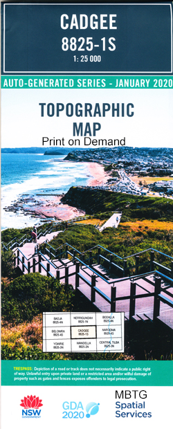
Cadgee 1-25,000 NSW Topographic Map
$16.95 – $29.95
Description:
Cadgee 1-25,000 NSW Topographic Map 8825-1-S Print on Demand
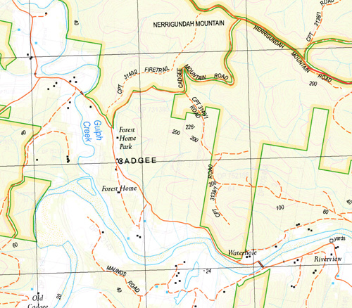
Cadgee1-25,000 Scale NSW Topographical Map is used for Walking, 4WD, Fishing, Camping, Motorcycle, both On and Off Road, Gold Prospecting and for those simply going for a family weekend drive.
Topographical maps show not only Contours of the Terrain but also Walking Tracks, Sealed andUnsealed Roads, Rivers, Creeks, Lakes, Historical Point of Interest, Old Mine Sites mbtg and National and State Park areas.
Also now available printed on Plastic Waterproof Paper Folded
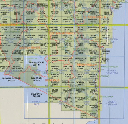
This map includes the following localities: Belimbla Creek Brassknocker Creek Cadgee Cadgee Mountain Comans Cut Burra Creek Dampier Deep Creek Eurobodalla Frenchmans Gully Cadgee Hill Little Belimbla Creek Motbey Myrtle Gully Nerrigundah Mountain Quart Pot Creek Reedy Creek Sandy Creek mbtg Sawpit Creek Sawpit Gully Tally Ho Creek Tally Ho Flat Tally Ho Pinch Tinpot Tinpot Flora Reserve Tuross River Urobodalla Mount Utopia Walter Motbey Waterhole Flat Wattlegrove Donga Red Bank Creek Lonsdale Creek
| Scale: | 1:25000 |
| Latitude Range: | 36 07.5 S – 36 15.0 S |
| Longitude Range: | 149 45.0 E – 150 00.0 E |
| Approx Print Size: | 0.56m X 1.11m |
| Projection: | Transverse Mercator
GDA 2020 Edition 2022 |
You may also like…
-
Central Tilba 1-25,000 NSW Topographic Map
$16.95 – $29.95Select options This product has multiple variants. The options may be chosen on the product page -
Wandella 1-25,000 NSW Topographic Map
$16.95 – $28.95Select options This product has multiple variants. The options may be chosen on the product page -
Narooma 1-25,000 NSW Topographic Map
$16.95 – $29.95Select options This product has multiple variants. The options may be chosen on the product page


