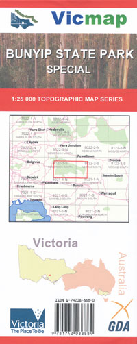
Bunyip State Park Special 1-25,000 Vicmap Topographic Map
$12.00 – $24.00
Description:
Bunyip State Park 1-25,000 scale Vicmap Topographical map is used for Walking, 4WD, Fishing, Camping, Motorcycle, both On and Off Road, Gold Prospecting and for those simply going for a family weekend drive.
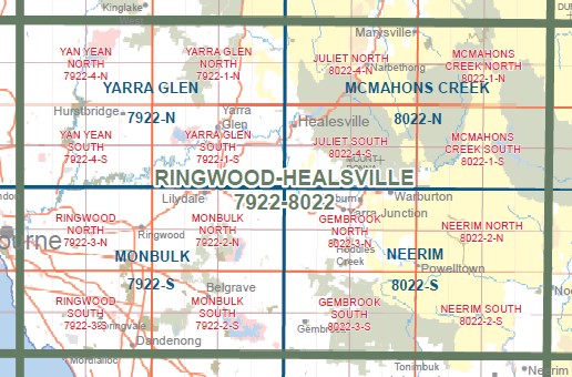
This is a new series of 1-25,000 scale maps, all of Victoria are covered by these maps.
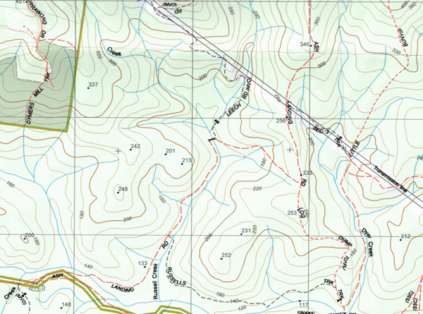
Topographical maps show not only Contours of the Terrain but Walking Tracks, Sealed and Unsealed Roads, Rivers, Creeks, Lakes, Historical Points of Interest, Old Mine Sites mbtg and National and State Park areas.
Main Features of this map includes:
Bunyip State Park
Numerous walking and 4WD tracks
Southern edge of Kurth Kiln
Gentle Annie, Maryknoll, Comucoopia, Windy Point, Mortimer Camping and Picnic Area, Bunyip Gap, Labertouche, The Three Sisters, Forest Road Trail Bike Unloading and Camping Area, Tomahawk Gap, Diamond Creek Reference Area, MBTG, Tominbuk, Bunyip Weir, Freemans Mill Camping Area, Seven Acres Rock, Nash Creek Campground, Egg Rock
ISBN 9781742088884
You may also like…
-
Neerim 1-50,000 Vicmap
$12.00 – $26.00Select options This product has multiple variants. The options may be chosen on the product page -
Monbulk 1-50,000 Vicmap
$12.00 – $24.00Select options This product has multiple variants. The options may be chosen on the product page -
Drouin 1-50,000 Vicmap
$12.00 – $24.00Select options This product has multiple variants. The options may be chosen on the product page


