Browne 1-250,000 Topographic Map
$15.95 – $30.95
Description:
Print on Demand
Locations within this Map
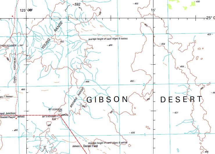
Baker Range Blyth Creek Boyd Lagoon Browne Range Charlies Knob Decker Field Geraldton Historic Society Bore Lake Breaden Lake Gruszka Lake Sprenger Mangi Rockholes Mount Beadell Mount Everard Mount Gordon Mount Samuel Naroo Creek Notabilis Hill Taratara Rockhole Thryptomene Hill Tsakalos Hills Young Range Charles Knob Sutherland Range
| Name: | Browne |
| Publisher: | Geoscience Australia (Australian Government) |
| Scale: | 1:250000 |
| Latitude Range: | 25° 0.0′ S – 26° 0.0′ S |
| Longitude Range: | 124° 30.0′ E – 126° 0.0′ E |
| Projection / Datum: | Universal Transverse Mercator, GDA94 |
| Approx Print Size: | 0.44m X 0.67m |
| Publication Date: | 1-Jun-03 |
Read More


