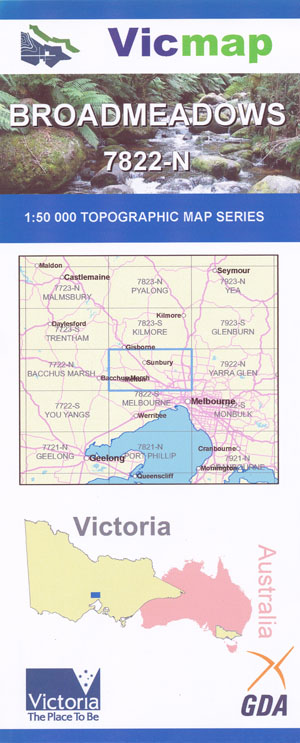
Broadmeadows 1-50,000 Vicmap
$12.00 – $24.00
Description:
Broardmeadows 1-50,000 scale Vicmap Topographical map 7822N is used for Walking, 4WD, Fishing, Camping, Motorcycle, both On and Off Road, Gold Prospecting and for those simply going for a family weekend drive.
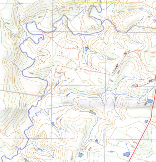
Topographical maps show not only Contours of the Terrain but Walking Tracks, Sealed and Unsealed Roads, Rivers, Creeks, Lakes, Historical Point of Interest, Old Mine Sites mbtg and National and State Park areas.
Main Features of this map includes:
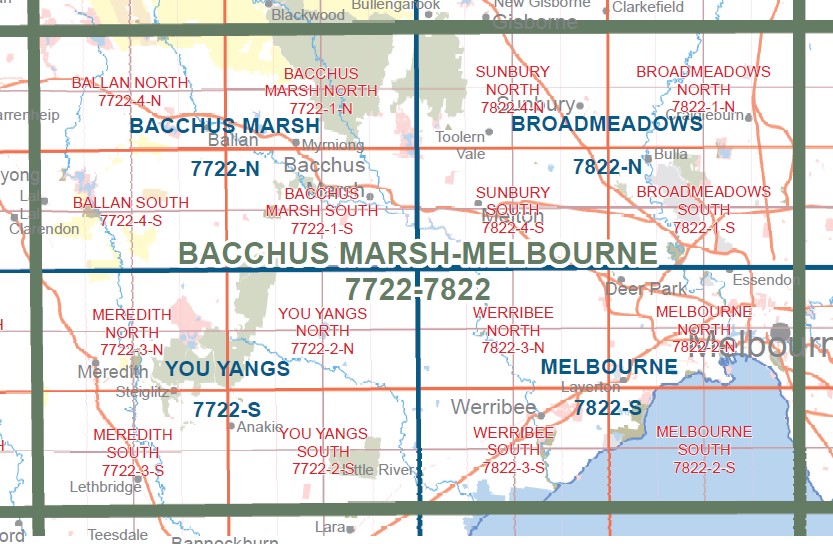
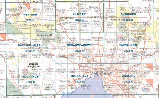
Melbournes Northern and Western Suburbs from Thornbury to Craigieburn, to Hawkesburn in the west.
Craigieburn, Half of the Greensborough Reservoir Graigieburn Deep Creek Goonawarra, KONAGADERRA, Donnybrook, REDSTONE Hill, Holden Flora And Fauna Reserve, Jacksons Creek Glencoe Drive Reserve, BULLA BULLA SSR, Wildwood, Oaklands Junction, Greenvale Reservoir, CROWE Hill, Mickleham, Rigg Hill, MOUNT RIDLEY NCR, CRAIGIEBURN GRASSLAND NCR, WOODY Hill, MBTG, Tullamarine Airport, Essendon, Western Ring Road Calder Highway Edge of Thornbury, Holden Bridge, JACKSONS CREEK SSR, ORGAN PIPES National Park, ORGAN PIPES Track, Calder Park Motorsport Complex, Sydenham, Taylors Hill, Delahey, Caroline Springs, Burnside Heights, St Albans, Kealba, Keilor Downs, Sydenham Park, Bulla, Woodlands Historic Park, Greenvale, Melbourne Airport, Niddrie, Airport West, Strathmore, Gladstone Park, Jacana, Greenvale Reservoir, Roxburgh Park, Meadow Heights, Dallas, Broadmeadows, Glenroy, Pascoe Vale, Coburg May Street, Fawkner, Hadfield, Campbellfield, Somerton
Lerderderg State Park, Sunbury, LITTLE BULLENGAROOK, Pyrete Range Reference Area (no public access), Djerriwarrh Reservoir, Merrimu Reservoir, YANGARDOOK BR, CABBAGE TREE HILL, most of Gisborne, MOUNT GISBORNE, Couangault, FLAGSTAFF Hill, Toolern Vale, Yangardook Creek, GILBY Hill, MOUNT AITKEN, DEVERALL Hill, MOUNT TOPHET, Diggers Rest, Kismet Creek Linear Reserve, Goonawarra. mbtg, SYDENHAM West, Melton, Long Forest, Sunnystones Country Retreat, Melton Reservoir, Exford, Harkness, Kurunjang, Cobblebank, Strathtulloh, Rockbank, Aintree, Thornhill Park, Grangefields, MOUNT KOROROIT, Bonnie Brook, Hillside, Taylor Hill, Caroline Springs
The southern end of Lerderderg State Park
You may also like…
-
Bacchus Marsh 1-50,000 Vicmap
$12.00 – $24.00Select options This product has multiple variants. The options may be chosen on the product page -
Kilmore 1-50,000 Vicmap
$12.00 – $24.00Select options This product has multiple variants. The options may be chosen on the product page -
SUNBURY SOUTH 1-25,000 Vicmap Topographic Map 7822-4-S
$14.00 – $26.00Select options This product has multiple variants. The options may be chosen on the product page -
Port Phillip 1-250,000 Topographic Map
$15.95 – $30.95Select options This product has multiple variants. The options may be chosen on the product page -
SUNBURY NORTH 1-25,000 Vicmap Topographic Map 7822-4-N
$14.00 – $26.00Select options This product has multiple variants. The options may be chosen on the product page -
BROADMEADOWS NORTH 1-25,000 Vicmap Topographic Map 7822-1-N
$12.00 – $24.00Select options This product has multiple variants. The options may be chosen on the product page -
Sale!
Lerderderg and Werribee Gorges Map Meridian Ed 6
$9.00 – $19.00Select options This product has multiple variants. The options may be chosen on the product page -
Bacchus Marsh Melbourne 1-100,000 Vicmap Topographic Map
$12.00 – $24.00Select options This product has multiple variants. The options may be chosen on the product page -
Melbourne 1-50,000 Vicmap Topographic Map
$12.00 – $24.00Select options This product has multiple variants. The options may be chosen on the product page


