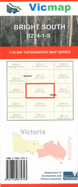
BRIGHT SOUTH 1-25,000 Vicmap Topographic Map 8224-1-S
$12.00 – $24.00
Description:
Bright South 1-25,000 Vicmap Topographic Map 82241S
MAIN FEATURES
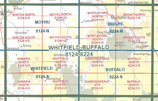
Now also covers the old series Bright 1-25,000 and the old series Eurobin which is now out of print
Part of the Murray to the Mountains Rail Trail
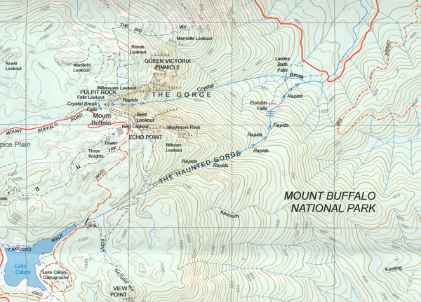
Bright, Porpunkah, Mount Buffalo, Eurobin, Part of the Ovens River Mt Buffalo, Part of the Mt Buffalo National Park, mbtg, Mount McLeod, Twin Falls Gorge, North Buffalo Remote and Natural Area, Lily Creek Saddle, THREE ROCK Peak, The North Bluff, North Buffalo Saddle, ULRICH PEAK, ANDERSON PEAK, EDINBORO CASTLE, Lady Carmichael Falls, Mount Dunn, OG GOG MAGOG, Devils Counch, The Woolpack, THE SARGOPHAGUS, Macks Point Stanley Rocks, Drillhole Rocks, mbtg, Dingo Dell, CARMICHAEL POINT, THE LEVIATHAN, Eurobin Creek, Lake Catani, Lake Catani Campground, The Torpedo, The Kissing Stones, Chalwell Gallerie, The Monolith, The Haunted Gorge, QUEEN VICTORIA PINNICLE, The Pulpit Rock, Three Knights, Brook Falls, Nine Mile Point, Rollasons Falls, THE COSTITUTION, Ladies Bath Falls, Eurobin Falls, Buckland River, Brookside, Mount Porpunkah, Huggins Lookout, WANDILIGONG EA
You may also like…
-
Mount Buffalo Map Spatial Vision
$19.85 – $28.95Select options This product has multiple variants. The options may be chosen on the product page -
Bogong Alpine Area Map Spatial Vision
$19.95 – $29.95Select options This product has multiple variants. The options may be chosen on the product page -
BRIGHT NORTH 1-25,000 Vicmap Topographic Map 8224-1-N
$14.00 – $26.00Select options This product has multiple variants. The options may be chosen on the product page -
Bright 1-50,000 Vicmap
$12.00 – $24.00Select options This product has multiple variants. The options may be chosen on the product page


