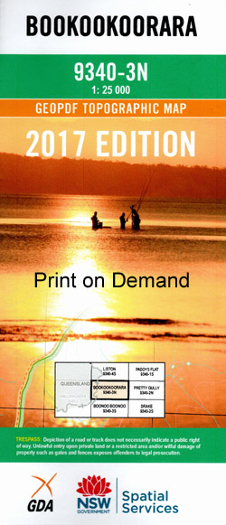
Bookookoorara 1-25,000 NSW Topographic Map
$16.95 – $31.95
Description:
9340-3-N Now Print on Demand
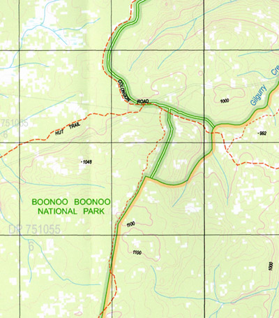
Bookookoorara 1-25,000 Scale NSW Topographical Map is usedfor Walking, 4WD, Fishing, Camping, Motorcycle, both On and Off Road, GoldProspecting and for those simply going for a family weekend drive.
Topographicalmaps show not only Contours of the Terrain but also Walking Tracks, Sealed andUnsealed Roads, Rivers, Creeks, Lakes, Historical Point of Interest, Old MineSites and National and State Park areas.
 Laminate and folded this NSW Topographical map, $12.00 see below.
This map includes the following localities: Bookookoorara Karong Glengarry Sun Valley Bungoona Apple Tree Creek Bald Rock Bald Rock Branch Bald Rock Creek Bald Rock Gully Bald Rock National Park Bald Rock State Park Boonoo Boonoo Falls Boonoo Boonoo National Park Swamp Creek Boundary Swamp Boundary Swamp Creek Branch Creek Branch Gully Branch Swamp Branch Swamp Creek Carroll Carrolls Creek Gilgurry Hairy Mans Rock Hells Hollow Creek Jenner State Forest Hells Hole Creek Prentice Rocky Island Rocky Waterhole Ropers Creek Ropers Gully Wattle Creek Wattle Gully Woolshed Creek Hell’s Hollow Creek McLaughlin Creek
| Scale: | 1:25000 |
| Latitude Range: | 28 45.0 S – 28 52.5 S |
| Longitude Range: | 152 00.0 E – 152 15.0 E |
| Approx Print Size: | 0.56m X 1.11m |
| Projection: | Transverse Mercator |


