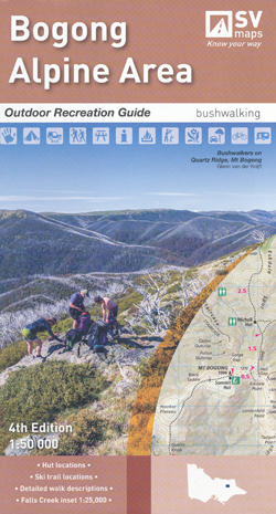
Bogong Alpine Area Map Spatial Vision Laminated
$29.95
Description:
Now Print on Demand 2 Sided Map and Text
SEE BELOW for map only
Laminated and sent folded

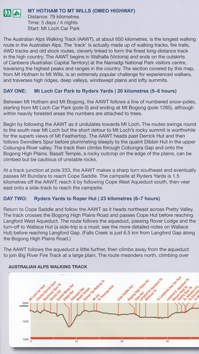
Bogong Alpine Area Map Outdoor Recreation Guides by Spatial Vision
Main Features:-
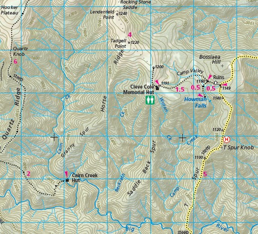
Mt Bogong, Falls Creek Dinner Plain, Mount Beauty, Bright, Mt Willis, Tawonga South, Tarwonga, Harrietville, Hotham Heights, Mt Feathertop, Mt Little Feathertop, Mt Sugarloaf, Harrietville State Forest, Selwyn State Forest, Mt Jiathmathang, Red Robin Battery, Mt Higginbotham, Whiskey Flat, Dibbins Hut Mount Morgan Mine, Rocky Valley Storage, an enlargement of Falls Creek, Anglers Rest, Batty Hut Ruins, Big River Bridge, Bivouac Hut, Blair Hut, Blowhard Hut, Bogong Jack Hut, Bon Accord Hut ruins, Buckety Plains Camp Ground, Bungalow Spur Hikers Camp, Cairn Creek Hut, Cleve Cole Memorial Hut, Cope Hut, Cape Saddle Hut, CRB Camp, CRB Hut, Deddick Hut, Diamantina Horse Yards and Hut, Edmondson Hut, Faith Hut, Federation Hut, Fitzgerald Hut, JB Pain Hut and Camp, Johnston Hut, Jokers Flat, Joyce Brockhoff Hut, Longford West Camp Ground, Maddisons Hut, McNamara Hut, Dinner Plain Hut, Mitchell Hut, Mount Willis Hut, Mountain Creek Camp Ground, MUMC Hut, Pretty Valley Hut, MBTG, Quintet Mines Hut, Raspberry Hill Camp Ground, Roper Hut, Ryders Yard Spargos Hut, Springs Saddle Hut ruins, Summit Hut Falls Creek and Summit Hut Mt Bogong, Tarwonga Hut, The Hollow Hut Wallaces Hut, Weston Hut, Wilkinson Lodge, Young Hut
SCALE: 1:50,000
COVERAGE: Bright, Harrietville, Mount Beauty, Falls Creek, Hotham Heights, Dinner Plain
IDEAL FOR: Bushwalking,skiing, mountain biking and car touring
EDITION: 4
SIZE (unfolded): 1,000mm wide and 810mm high
@import


