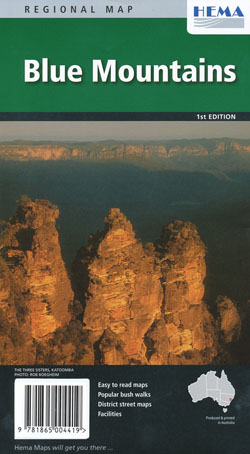
Blue Mountains National Park Map Hema
$12.95 – $26.95
Description:
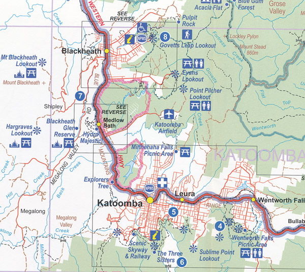
The Blue Mountains Map Hema features a national park map, which covers the following national parks: Blue Mountains, Abercrombie, Kanangra Boyd, Nattai and part of Wollemi. There are also insets of the Blackheath, Katoomba, Springwood, Leura, Wentworth Falls, Lawson and Glenbrook areas.
Also contained are walking maps that cover the grades of walks available for the areas of Blackheath, Wentworth, and Katoomba and Leura.
| ISBN: 9781865004419 | Edition: 1 |
| Scale: Various | Size: 610 x 890 mm |
| Published 2011 | |
Read More
You may also like…
-
Blue Mountains South Map Spatial Vision
$19.95 – $29.95Select options This product has multiple variants. The options may be chosen on the product page -
Blue Mountains North Map Spatial Vision
$19.95 – $29.95Select options This product has multiple variants. The options may be chosen on the product page


