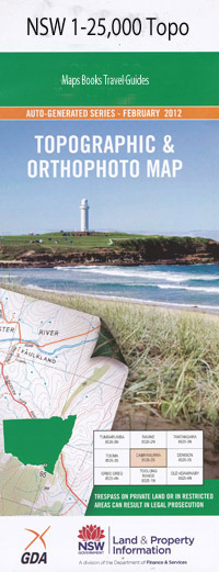
Blackville 1-25,000 NSW Topographic Map
Description:
8934-4-S
Blackville 89344s 1-25,000 Scale NSW Topographical Map is usedfor Walking, 4WD, Fishing, Camping, Motorcycle, both On and Off Road, GoldProspecting and for those simply going for a family weekend drive.
Topographicalmaps show not only Contours of the Terrain but also Walking Tracks, Sealed andUnsealed Roads, Rivers, Creeks, Lakes, Historical Point of Interest, Old MineSites and National and State Park areas.
 Laminate and folded this NSW Topographical map, $12.00 see below
This map includes the following localities: Westview Salisbury Park Glenconn Ardgour Bindi Yarraman Springfield Talana St Helena Woodlands Uralla Yarrawonga Tallow Hills Jumbarlee Fernleigh Yarragabbi Fairview Welton Dale Brenand Beacon Hill Blackville Blackville Public School Black Mountain Black Jack Mountain Black Creek Brittons Gully Browns Gap Camerons Creek Campbells Creek Cattle Creek Coomoo Coomoo Langs Neck Moan Norfolk Falls Norfolk Falls Flora Reserve Norfolk Island Creek Norfolk Island Swamp Omaleah Creek Pigeon Box Rock Rabsons Gully Razorback Range Sheep Station Gully Spring Gully Tamalie Creek Tamilies Creek Warung State Forest West Boundary Range Yaraman Yarraman Hills Bundella Dry Gully Bundella State Forest Bundella Creek Bundulla Bundulla Creek Bundulla State Forest Butchers Gully
| Scale: | 1:25000 |
| Latitude Range: | 31 37.5 S – 31 45.0 S |
| Longitude Range: | 150 00.0 E – 150 15.0 E |
| Approx Print Size: | 0.56m X 1.11m |
| Projection: | Transverse Mercator |

