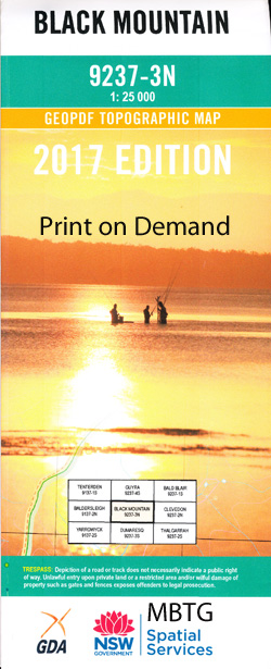
Black Mountain 1-25,000 NSW Topographic Map
$16.95 – $31.95
Description:
9237-3-N Print on Demand
Black Mountain 92373n 1-25,000 Scale NSW Topographical Map is usedfor Walking, 4WD, Fishing, Camping, Motorcycle, both On and Off Road, GoldProspecting and for those simply going for a family weekend drive.
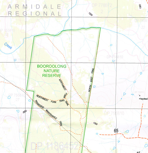
Topographicalmaps show not only Contours of the Terrain but also Walking Tracks, Sealed andUnsealed Roads, Rivers, Creeks, Lakes, Historical Point of Interest, Old MineSites and National and State Park areas.
 Laminate and folded this NSW Topographical map, $12.00 see below.
This map includes the following localities: Olmo Toms Gully Newhaven Elmsleigh Tilbuster North Sunnyside Strathmore Alderberry Elderbury North Brook Youri Lagoona Wattle Farm Urandangie Creek Strathbogie Pinora Rose Hill Yauri Lakemount Urandangie Reedy Creek Westview Spring Hill Kilbirne Belview Rosewood Lagoon Farm Lilly Grove Manbullo Boorolong Wycombe Tipperary Myola Rose Valley Booro Glen East View Avalon Fair View Forres Hillview Rose Thom Hillcrest Box Hill Budliegh Copnor Norden Springmount Box Point Highlands Glendower Glendon Heatherbrae Ravensworth Pine Tree Lothlorien Enooma Antonys Lagoon Anthonys Lagoon Black Mountain Public School Black Mountain Railway Station Booral Boorolong Creek Boorolong State Forest Boral Mount Boral Bow Gully The Devils Pinch Exmouth Guyra Hardakers Gully Elderberry Head of Boorolong Creek Malpas Dam Sams Gully Sams Swamp Springmount Creek Sutton Gully Thunderbolts Cave Tilbuster Tipperary Creek Two Mile Water Malpas Reservoir Black Mountain
| Scale: | 1:25000 |
| Latitude Range: | 30 15.0 S – 30 22.5 S |
| Longitude Range: | 151 30.0 E – 151 45.0 E |
| Approx Print Size: | 0.56m X 1.11m |
| Projection: | Transverse Mercator |


