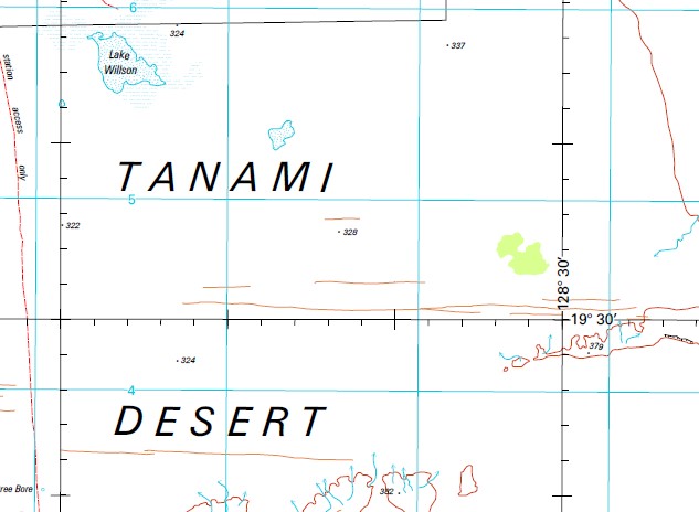
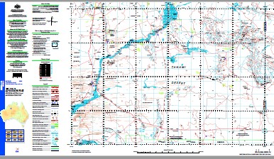
Billiluna 1-250,000 Topographic Map
$15.95 – $30.95
Description:
Print on Demand
Part of the Tanami Road Alice Springs to Halls Creek
Locations within this Map
13 Mile Billabong Baines Hills Bald Hill Balwina Billiluna Bindi Bindi Waterhole Black Hart Yard Boee Pool Boundary Bore Bramall Hills Brophy Creek Bulara Carranya Chuall Pool Condren Well Denison Range Dingo Waterhole Elsey Hills Errol Bore Falconer Hills Ferdinand Hills Gardner Range Gilungarra Community Granny Soak Gunibuy Community Ima Ima Pool Jawilga Pool Junction Waterhole Junction Yard Killi Killi Hills Knobby Hills Kururrungku Bridge Lake Willson Larranganni Bluff Lewis Creek Limestone Well Maurice Spring Mindibungu Community Mount Brophy Mount Brophy Spring Mount Junction Mount Lane Mount Mansbridge Mount Mueller Mount Stubbins Mount Weekes Myarra Pool No. 1 Bore No. 2 Bore No. 3 Bore No. 5 Bore No. 9 Bore Old Homestead Well Old Homestead Yard Overlander Waterhole Overlander Yard Palm Spring Well Phibbs Hills Pindar Yard Pyramid Gap Pyramid Hill Red Rock Yard Rosella Bore S.C.A. Bore S.C.C. Bore Selby Hills Skeen Hill Skeen Waterhole Slatey Creek Stretch Lagoon Sturt Creek Sullivan Hill Talbot Spring Tent Hill Watts Rise Weedy Waterhole Wolfe Creek Wolfe Creek Meteorite Crater Woodlake Yard Wowaljarrow Pool Black Bindi Waterhole Denison Plains Grannys Soak Gillman Sturt Granny Creek Mount Stubbin Palm Spring Ima-Ima Pool Wolf Creek Gunibuy Gardiner Range Gamma Hole Mindibungu Skeens Hole Skeons Hole Stretchs Lagoon
| Name: | Billiluna |
| Publisher: | Geoscience Australia (Australian Government) |
| Scale: | 1:250000 |
| Latitude Range: | 19° 00.0′ S – 20° 0.0′ S |
| Longitude Range: | 127° 30.0′ E – 129° 0.0′ E |
| Projection / Datum: | Universal Transverse Mercator, GDA94 |
| Approx Print Size: | 0.44m X 0.67m |
| Publication Date: | 1-Jun-04 |


