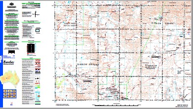
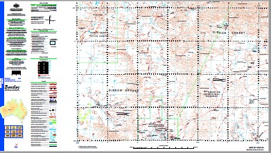
Bentley 1-250,000 Topographic Map
$15.95 – $30.95
Description:
Bentley 1-250,000 Topographic Map Print on Demand
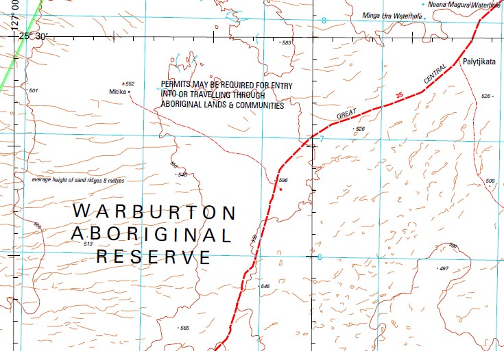
Bedford Creek Bedford Range Beelorro-Coonabaroo Spring Beever Bore Bentley Hill Catadine Waterhole Conglomerate Point Cunnaburra Well Diorite Hill Domeyer Hill Dry Hill Gnamma Hole Point Golden Point Gungangmura Waterhole Gungarungal Hill Gurgadi Minga-Ura Waterhole Mitika Waterhole Mount Charles Mount Grace Mount Harvest Mount Rawlinson Mullangarri Well Mulumaru Mulya Ngiril Well Mummine Well Neena Magura Waterhole Quartz Soak Hill Scamp Hill Spring Granite Sunday View Hill Table Point Tikelmungulda Waterhole Todd Ranges Warida Rockhole War-Tun-Ju Waterhole West Hill Windarro Waterhole Yindi Rockhole Yulun-Kudara Waterhole Sunday Hill Baker Range Spring Rocks Beelorro-Goonabarno Spring Gum Creek Scamp Creek Bentley Hill Mippittjarra Rockhole Mippittjarra Rockhole
| Name: | Bentley |
| Publisher: | Geoscience Australia (Australian Government) |
| Scale: | 1:250000 |
| Latitude Range: | 25° 0.0′ S – 26° 0.0′ S |
| Longitude Range: | 126° 0.0′ E – 127° 30.0′ E |
| Projection / Datum: | Universal Transverse Mercator, GDA94 |
| Approx Print Size: | 0.44m X 0.67m |
| Publication Date: | 1-Jun-01 |


