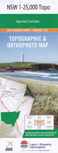
Bendoura 1-25,000 NSW Topographic Map
$16.95 – $31.95
Description:
8826-4-N Print on Demand
Bendoura 88264n 1-25,000 Scale NSW Topographical Map is usedfor Walking, 4WD, Fishing, Camping, Motorcycle, both On and Off Road, GoldProspecting and for those simply going for a family weekend drive.
Topographicalmaps show not only Contours of the Terrain but also Walking Tracks, Sealed andUnsealed Roads, Rivers, Creeks, Lakes, Historical Point of Interest, Old MineSites and National and State Park areas.
 Laminate and folded this NSW Topographical map, $12.00 see below.
This map includes the following localities: Back Creek Bains Gully Bald Hill Creek Ballalaba Bendoura Bendoura State Forest Bourkes Creek Bourkes Dam Bourkes Hill Brick Kiln Creek Clarks Lookout Cowper Coxes Gully Elrington Exeter Farringdon Foxlow Gap Gourock Range Harolds Cross Creek Jinero Coxes Creek Long Flat Long Flat Reserve Lowden Lowden Creek Main Creek Majors Creek Majors Creek Cemetery Majors Creek General Cemetery Mountain Creek Mountain Gully Mount Creek Mount Elrington Plain Nithsdale Parlour Creek Rocky Pic Sawmill Creek Sawpit Gully Scotchmans Gully Sheepstation Creek Swamp Creek Tallaganda Creek The Gap Creek Unwin Wallace Wallaces Gap Witts Creek Bourkes Hill Crossing Vernelly Crossing Mount Cronin Harolds Cross
| Scale: | 1:25000 |
| Latitude Range: | 35 30.0 S – 35 37.5 S |
| Longitude Range: | 149 30.0 E – 149 45.0 E |
| Approx Print Size: | 0.56m X 1.11m |
| Projection: | Transverse Mercator |

