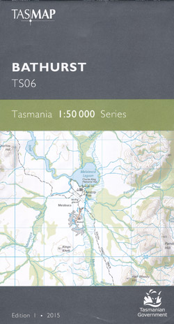
Bathurst 1-50,000 Tasmap Topographic Map
$13.95
2 in stock
Description:
Bathurst 1-50,000 Tasmap Topographic Map
Waterproof paper TS06
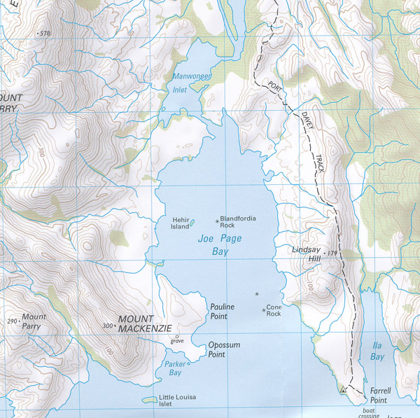
1:50,000 Scale topographic map. 1cm = 2km. Roads, tracks, watercourses, land features, buildings etc.
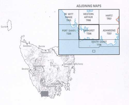
Coverage includes Bathurst Inlet upstream of Bathurst Channel, South Coast Track from Louisa River to Melaleuca then Port Davey Track across Bathurst Narrows to Border Hill. Wilson Bight Track to Ketchum Bay.
ISBN 9318923028102
Read More


