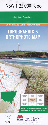
Banyabba 1-25,000 NSW Topographic Map
$16.95 – $31.95
Description:
9539-3-N Print on Demand
Banyabba 1-25,000 scale NSW Topographical map is usedfor Walking, 4WD, Fishing, Camping, Motorcycle, both On and Off Road, GoldProspecting and for those simply going for a family weekend drive.
Topographicalmaps show not only Contours of the Terrain but also Walking Tracks, Sealed andUnsealed Roads, Rivers, Creeks, Lakes, Historical Point of Interest, Old MineSites and National and State Park areas.
 Laminate and folded this NSW Topographical map, $12.00 see below.
This map includes the following localities: Causeville Banyabba Banyabba Railway Station Barneys Creek Branch of Broadwater Creek Broadwater Creek Chatsworth Chatsworth Hill Coolah Island Devil Devil Waterhole Devils Pulpit Garrets Gully Gibberagee State Forest Jacky Bulbin Flat Evil Devil Waterhole Four Mile Creek Garrets Creek Great Estuary Kooyong Hill Mcmillans Creek Mororo Mororo Creek Mororo Public School Myall Myall Creek Rileys Creek Sandy Creek Tabbimoble Creek Travellers Rest Creek Tullymorgan Doubleduke Mount Doubleduke Needlebark Flora Reserve
| Scale: | 1:25000 |
| Latitude Range: | 29 15.0 S – 29 22.5 S |
| Longitude Range: | 153 00.0 E – 153 15.0 E |
| Approx Print Size: | 0.56m X 1.11m |
| Projection: | Transverse Mercator |

