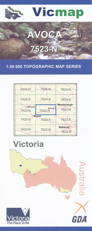
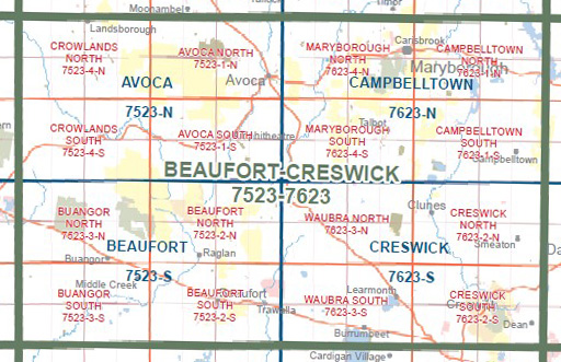
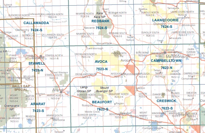
Avoca 1-50,000 Vicmap
$12.00 – $24.00
Description:
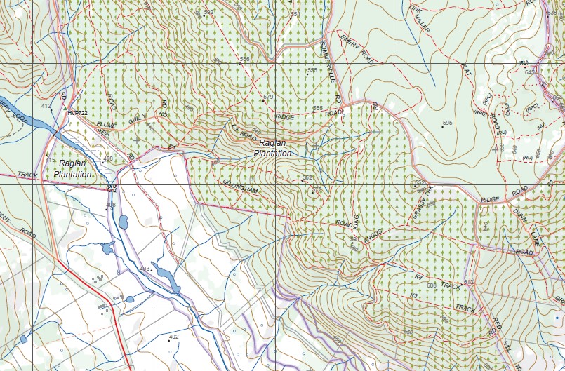
Avoca 1-50,000 scale Vicmap Topographical map 7523N is used for Walking, 4WD, Fishing, Camping, Motorcycle, both On and Off Road, Gold Prospecting and for those simply going for a family weekend drive.
Topographical maps show not only Contours of the Terrain but Walking Tracks, Sealed and Unsealed Roads, Rivers, Creeks, Lakes, Historical Point of Interest, Old Mine Sites mbtg and National and State Park areas.
Main Features of this map includes:
Avoca, Part of The Pyrenees, Tanwood, Rathscar West, Glenshee, Riversdale, Hamers Bridge, Percydale, Fiddlers Creek, Warrenmang, Part of Landsborough NCR, Part of Salt Patch Track, Wild Dog Track, mbtg, Part of Squatters Track, Donkey Hill, Mount Warrenmang, Sardine Gully, Stanwell Mine, Part of St Arnaud -Pyrenees SF, Glenmona SF, Miles Loop Track, Dry Dam Track, Glenlofty Track, Fraser Track, mbtg, Tiger Cat Track, Main Break Track, Cameron Track, Cross Track, King Tree Track, Part of the Pyrenees Endurance Track, Part of The Great Dividing Range, Emery Track, Mount Avoca, Sugarloaf Reservoir, Rutherford Creek, part of Porcupine Track, part of Radigan Track, Nowhere Creek, mbtg, Part of the Great Dividing Range, Part of the Pyrenees Range SF, Nowhere Creek, Glenpatrick, Elmhurst, Rosyth, mbtg, Amphitheatre, Glenlogie, Ben More, Webster Track, Part of St Arnaud – Pyrenees SF, Radigan Track, Porcupine Track, Mountain Hut Track, Point Patrick, Sandy Creek Elmhurst SSR, mbtg, Mount Direction, Amphitheatre Reservoir, Green Hill Creek, Mt Cole / Beeripmo SSR, Pumpkin Point, Sugarloaf Hill, Bet Bet Creek, Part of Mt Lonarch Berumgower SF, Little Wimmera River, Phillipson Creek Track, Phillipson Link Track, Albion Sawmill HR.
Joel Joel, Landsborough, St Arnaud – Pyrenees SF, Glenlofty, Landsborough West, Joel Joel South, Salt Patch Track, Wild Dog Track, Youth Creek, Astons Scour BR, mbtg, Shays Flat BR, Squatters Track, Blue Mountain Track, Landsborough Ridge Track, Malakoff Track, Framptons, Part of The Great Dividing Range, Laidlan Track, mbtg, Pyrenees Endurance Walk, Glendhu HR, Crowlands NFR, Hankin Track, Crowlands, Eversley, Part of the Pyreness Ranges SF, Crowlands Eversley Bridge, Rock Hill, Elmhurst, Reserve Hill, Part of Ararat RP, Mount Boswell, Dunneworthy, Grain Bunker, Sibbrett Point, Hickman Creek, The Pinnacles, mbtg, Ben Nevis, Mount Cole Creek, Mooney Gap, Warra Yadin, Telegraph Hill, Eversley Sugarloaf, Part of The Great Dividing Range, Mt Cole / Beeripmo SF, Borella Walk, Sledging Point, Part of the Philipson Link Track.
You may also like…
-
Ararat 1-50,000 Vicmap
$12.00 – $24.00Select options This product has multiple variants. The options may be chosen on the product page -
BEAUFORT NORTH 1-25,000 Vicmap Topographic Map 7523-2-N
$12.00 – $24.00Select options This product has multiple variants. The options may be chosen on the product page -
CROWLANDS NORTH 1-25,000 Vicmap Topographic Map 7523-4-N
$14.00 – $26.00Select options This product has multiple variants. The options may be chosen on the product page -
Creswick 1-50,000 Vicmap
$12.00 – $24.00Select options This product has multiple variants. The options may be chosen on the product page -
CROWLANDS SOUTH 1-25,000 Vicmap Topographic Map 7523-4-S
$14.00 – $26.00Select options This product has multiple variants. The options may be chosen on the product page -
The Pyrenees Map Meridian
$14.95 – $26.95Select options This product has multiple variants. The options may be chosen on the product page -
Stawell 1-50,000 Vicmap
$12.00 – $24.00Select options This product has multiple variants. The options may be chosen on the product page -
Beaufort 1-50,000 Vicmap
$12.00 – $24.00Select options This product has multiple variants. The options may be chosen on the product page


