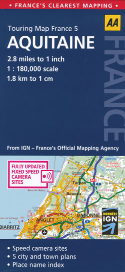
Aquitaine Map AA
$19.95
2 in stock
Description:
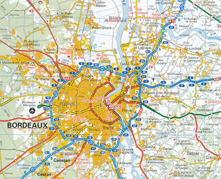
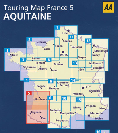
Aquitaine Map AA touring map from the AA and IGN, France’s Official Mapping Agency, is all you need for motoring through Aquitaine. It is presented in a slimline format with durable plastic cover, with an extra large scale and fully updated speed camera sites. The map combines clear design and an easy-to-read scale with more road detail to ensure that you never lose your way. Including information on toll points, service areas, road numbers, motorways, dual carriageways and local roads, national parks and towns of interest are also highlighted. Includes town plans of Bordeaux, Bergerac, Mont-de-Marsan, pau and Tarbes.
| Binding Sheet map, folded |
| Size Other 984mm x 1210mm |
| Scale 1: 180,000 |
| Author IGN |
| Publisher AA Publishing |
| ISBN 9780749568696 |
Read More


