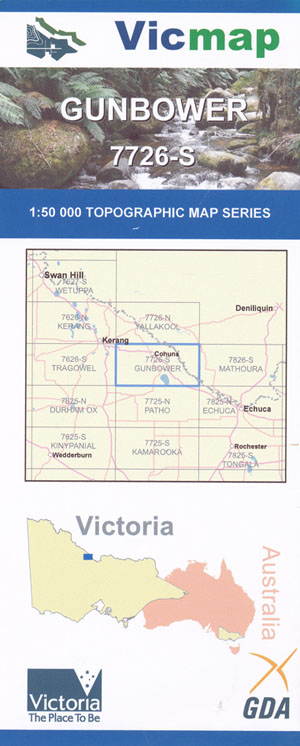
Gunbower 1-50,000 Vicmap
$12.00 – $24.00
Description:
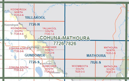
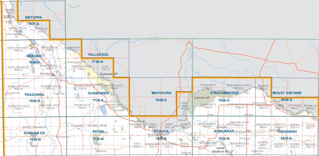
Gunbower 1-50,000 scale Vicmap Topographical map 7726S is used for Walking, 4WD, Fishing, Camping, Motorcycle, both On and Off Road, Gold Prospecting and for those simply going for a family weekend drive.
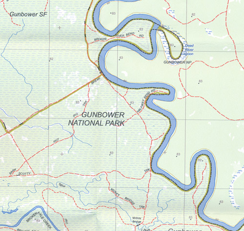
Topographical maps show not only Contours of the Terrain but Walking Tracks, Sealed and Unsealed Roads, Rivers, Creeks, Lakes, Historical Point of Interest, Old Mine Sites mbtg and National and State Park areas.
Main Features of this map include:
The towns of Cohuna, Gunbower, Leitchville and Kow Lake, Most of Gunbower Park
Gunbower National Park, Gunbower Island, Thompsons Track Camping Area 1, 2, 3 and 4, Peter Creek Camping Area 1 and 2, Wee Wee Rup Camping Area, Doc Grahams Hut Camping Area, Corduroy Swamp and Loop Track, Log Hauler Track, Gunbower Creek, Daltons Bridge, Cohuna Channel, Keely, Wattle Track Camping Area 1, 2 and 3, Cemetery Bend West Camping Area 1 and 2, Cemetery Bend Camping Area 1, 2, 3, 4 and 5, Mcclures Bend Camping Area 5, Burkes Bridge, Wee Wee Rup, LEITCHVILLE BR, Burnt Bridge, Robertson Track Camping Area, Barton Track Camping Area 1 and 2, Nursery Bend Camping Areas (numerous), Suicide Bridge, TICKELLS Creek, Broken River Bend Camping Area 1, 2, 3 and 4, 82 Bend Camping Area 1 and 2, Batemans Track Camping Area, Gravel Bend Camping Area, Sandbar Bend Camping Area 1 and 2, Halfway Bend Camping Area 1 and 2, Scottys Bend Camping Area, Mckay Bridge, Munzel Corner, Kangaroo Track Camping Area, Kangaroo Track Camping Area 1 and 2, Kate Malone Bend Camping Area 1, 2 and 3, Bonnemans Bend Site 1 and 2, Dead River Lagoon, mbtg, Gunbower, Leitchville, Gunbower Creek, Holmes Bridge, part of Gunbower National Park, Mopoke Bend Camping Area, part of the Murray River, Benarca Waterholes, Dalley Bend Camping Area, mbtg, Headworks Track, Cockatoo Lagoon, McKay Mill Bend Camping Area, Torrumburry Lock, mbtg, Gona Bend Camping Area, Gunbower Island, Fox Island, Kow Swamp, Ormandys Bridge, Gunbower Airfield, Welton NCR
Cohuna, Kerang East, Macorna North, Cullen, Rowlands, Milnes Bridge, Pyramid Creek, Schwenckes Bridge, part of Gunbower State Forest, Gunbower National Park, Gunbower Creek & Gunbower Island, Wire Fence Track, Johnson Swamp WR, Hird Swamp, Calivil Creek, mbtg, Macorna, Rowlands, Horfield, Mincha West, Macorna Channel, Calivil Creek, Flannerys Bridge, Flannery NCR, Mount Hope NCR
You may also like…
-
Echuca 1-50,000 Vicmap
$12.00 – $24.00Select options This product has multiple variants. The options may be chosen on the product page -
Deniliquin 1-250,000 Topographic Map
$15.95 – $27.95Select options This product has multiple variants. The options may be chosen on the product page -
COHUNA SOUTH 1-25,000 Vicmap Topographic Map 7726-3-S
$14.00 – $26.00Select options This product has multiple variants. The options may be chosen on the product page -
GUNBOWER SOUTH 1-25,000 Vicmap Topographic Map 7726-2-S
$14.00 – $26.00Select options This product has multiple variants. The options may be chosen on the product page -
Cohuna Echuca Gunbower Map Hayman
$12.95 – $25.00Select options This product has multiple variants. The options may be chosen on the product page -
GUNBOWER NORTH 1-25,000 Vicmap Topographic Map 7726-2-N
$12.00 – $24.00Select options This product has multiple variants. The options may be chosen on the product page -
Mathoura 1-50,000 Vicmap
$12.00 – $24.00Select options This product has multiple variants. The options may be chosen on the product page -
Barham 1-50,000 NSW Topographic Map
$16.95 – $31.95Select options This product has multiple variants. The options may be chosen on the product page -
COHUNA NORTH 1-25,000 Vicmap Topographic Map 7726-3-N
$14.00 – $26.00Select options This product has multiple variants. The options may be chosen on the product page


