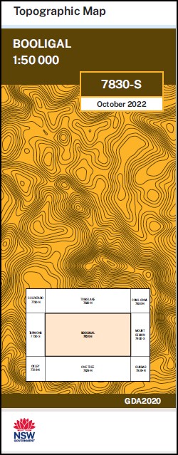
Booligal 1-50,000 NSW Topographic Map
$16.95 – $28.95
Description:
Booligal 7830s 1-50,000 scale NSW Topographical map is used for Walking, 4WD, Fishing, Camping, Motorcycle, both On and Off Road, Gold Prospecting and for those simply going for a family weekend drive.
Topographical maps show not only Contours of the Terrain but also Walking Tracks, Sealed and Unsealed Roads, Rivers, Creeks, Lakes, Historical Point of Interest, Old Mine Sites mbtg and National and State Park areas.
Now Print on Demand
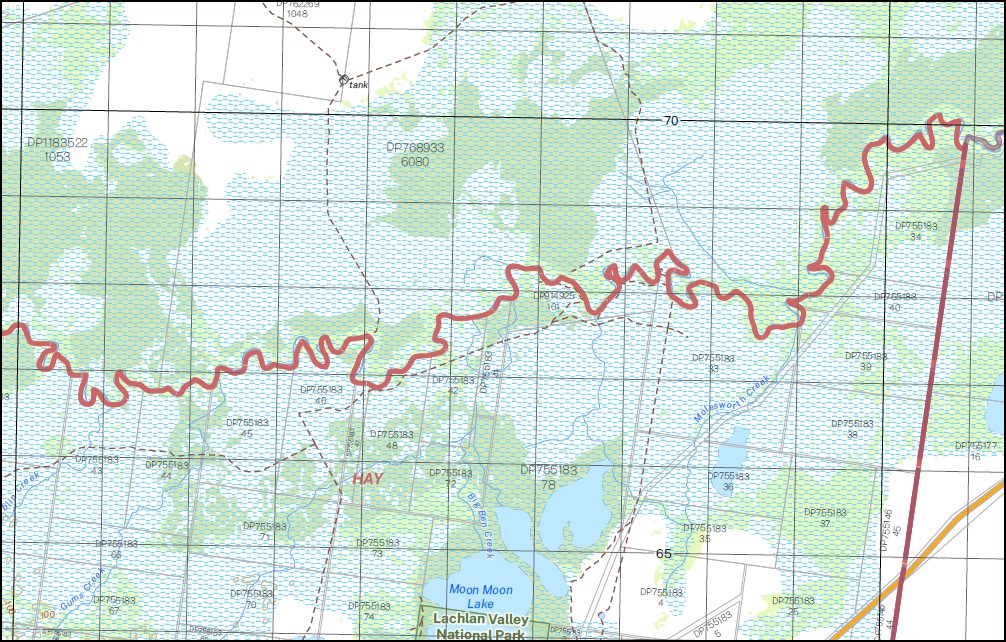
Part of the Lachlan River
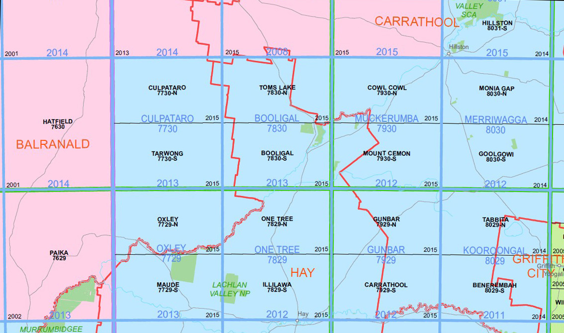
Locations within this Map
Lilydale Alma Natue Booligal Eurugabah Thononga Belmont Woorandara Horton Park Merrimajeel Middle Block Humewood Greenvale Boxyards Mycumbene Wallaby Round Box Little Lake Angora Swamp Village of Benarca Boggy Creek Booligal Cemetery Booligal State Forest Village of Booligal Convincer Creek Merrimajeel Creek Lake Merrimajeel Mirrool Dam Muggabah Creek Murrumbidgil or Merrimajeel Creek Murrumbidgil Swamp Paddy Sandhills Simson State Forest Tambalana The Goonawarra Nature Reserve Torriganny Creek Yandumblin Yandumblin Creek Dry Lake Swamp Booligal Public School Benanimie Bullogal Goona Warra Moodarnong Murra Nyanda Tinna Yaloo Goonawarra Nature Reserve
| Publisher: | New South Wales Government |
| Scale: | 1:50000 |
| Latitude Range: | 33° 45.0′ S – 34° 0.0′ S |
| Longitude Range: | 144° 30.0′ E – 145° 0.0′ E |
| Datum: | GDA 2020 |
You may also like…
-
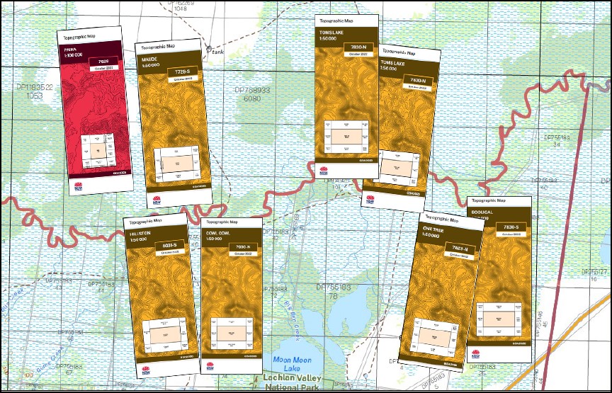
One Tree 1-50,000 NSW Topographic Map
$16.95 – $28.95Select options This product has multiple variants. The options may be chosen on the product page -
Lachlan River 1-50,000 and 1-100,000 Topographic Map Set
$130.00 – $220.00Select options This product has multiple variants. The options may be chosen on the product page -
Toms Lake 1-50000 NSW Topographic Map
$16.95 – $28.95Select options This product has multiple variants. The options may be chosen on the product page -
Cowl Cowl 1-50000 NSW Topographic Map
$16.95 – $28.95Select options This product has multiple variants. The options may be chosen on the product page