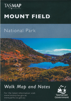
Mount Field National Park Map Tasmap
$12.95
3 in stock
Description:
Mount Field National Park Map Tasmap
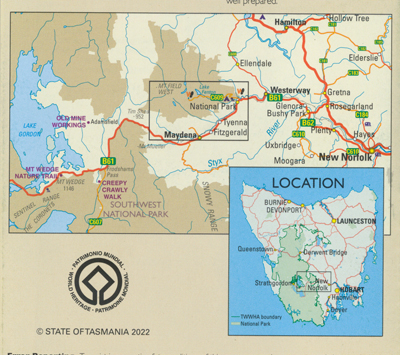
Mount Field National Park is located 75 kilometres west of Hobart on the Gordon River Road. Glacial valleys, tarns, spectacular waterfalls and abundant wildlife, all await the visitor.
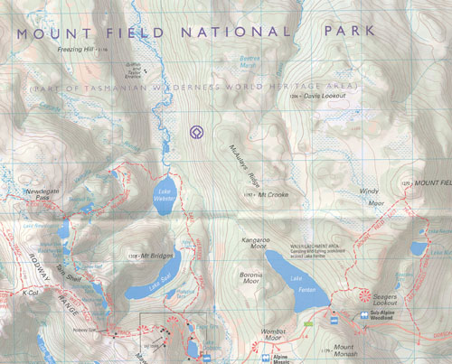
This map highlights the walking tracks and features tourist information along with general topographic detail. The notes on the reverse side outline walks available in the park, along with bushwalking tips and safety essentials.
ISBN 9318923008357
| Production Year: | 2022 |
| Datum: | Geocentric Datum of Australia 2020 (GDA2020) |
| Scale: | 1:50000 |
|
|
|
Read More
You may also like…
-
Hartz Mountains National Park Map Tasmap
$12.95 – $24.95Select options This product has multiple variants. The options may be chosen on the product page -
Lake St Clair Daywalk Map Tasmap
$8.95 – $18.95Select options This product has multiple variants. The options may be chosen on the product page -
Highland Lakes Tasmap
$13.95 – $24.95Select options This product has multiple variants. The options may be chosen on the product page -
Frenchmans Cap Walk Map Tasmap
$8.95 – $18.95Select options This product has multiple variants. The options may be chosen on the product page -
Walls of Jerusalem National Park Map Tasmap
$13.95 – $25.95Select options This product has multiple variants. The options may be chosen on the product page -
Bruny Island Walks Map Tasmap
$13.95 – $25.95Select options This product has multiple variants. The options may be chosen on the product page


