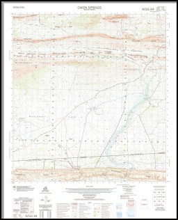
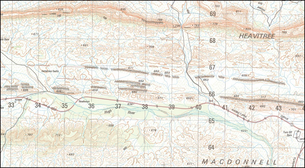
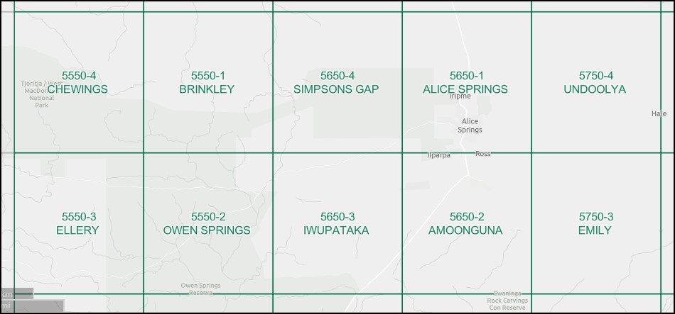
Owen Springs 1-50000 Topographic Map 5550-2 NT
$15.95 – $27.95
Description:
Owen Springs 1-50000 Topographic Map 5550-2 NT Print on Demand 2004 Edition
Locations within this Map
5 Mile Bore 5 Mile Gap Boggy Hole Bore Devitt Hill Edgar Springs Ewarts Springs Frazer Hill Gill Pass Long Hole Bore Mothers Dam Mount Conway Old Owen Springs Owen Springs Owen Well Poll And Diamond Dam Reedy Hole Waterhole Trucking Yard Turn Off Bore Macdonnell Ranges Jay Creek Strehlows Camp Milners Camp Owens Springs
| Name: | Owen Springs |
| Publisher: | Geoscience Australia (Australian Government) |
| Scale: | 1:50000 |
| Latitude Range: | 23° 45.0′ S – 24° 00.0′ S |
| Longitude Range: | 133° 15.0′ E – 133° 30.0′ E |
| Projection / Datum: | Universal Transverse Mercator, GDA94 or WGS84 |
| Approx Print Size: | 0.56m X 0.56m |
| Publication Date: | 1-Jun-04 |
Read More
You may also like…
-
Chewings 1-50000 Topographic Map 5550-4 NT
$15.95 – $27.95Select options This product has multiple variants. The options may be chosen on the product page -
Alice Springs 1-50000 Topographic Map 5650-1 NT
$14.95 – $26.95Select options This product has multiple variants. The options may be chosen on the product page -
Alice Springs 1-100,000 Topographic Map
$15.95 – $27.95Select options This product has multiple variants. The options may be chosen on the product page -
Ellery 1-50000 Topographic Map 5550-3 NT
$15.95 – $27.95Select options This product has multiple variants. The options may be chosen on the product page


