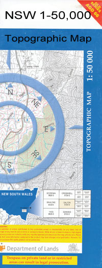
Wellington 1-50000 NSW Topographic Map
$16.95 – $31.95
Description:
8632-N Print on Demand
Locations within this Map
Grace Hill Wellington Apex Memorial Park Apsley Railway Station Arthurville Arthurville Public School Arthurville Railway Station Village of Arthurville Mount Arthur Apsley Apex Park Barren Rock Bell Park Blackrock Black Rock Bournewood Cameron Park Camping Hill Cathedral Cave Catombal Catombal Creek Mount Catombal Catombal Range Chain of Ponds Creek Chinamans Creek Chowns Flat Coppermine Gully Crooked Creek Curra Curra Creek Emmagool Creek Finger Post Gaden Cave Galwadgere Ganoo Gilgal Gullengambel Gundy Gundy Creek Henry Werner Jacky Bairds Gunyah Creek Kennard Park Copper Mine Creek Crooked or Gol Gol Creek Mickety Mickety Mulga Hill Middle Creek Middle Gully Montefiore Montefiores Mountain Creek Mountain Waterhole Creek Mountain Water Hole Creek Mount Arthur Reserve Mount Nanima or Diehard Mount Nanima Mumbil Mumbil Creek Mount Mumbil Mumble Creek Mount Mumble Nanima Nanima Aboriginal School Nanima Fall Nanima Falls Nanima Public School Narragal Narragal Hill Neurea Newry Newrea Nubingerie Nubingerie Railway Station Obley Village of Obley Oddfield Railway Station Paling Yards Paling Yards Flat Pioneer Park Ponto Quince Trees Quince Trees Flat Redbank Roche Rygate Park Sheepskin Gully Smoky Camp Splitters Hill Spring Flat Spring Gully Springs Creek Sugarloaf Suntop Suntop Public School Teamsters Park The Park Spring Creek Timby Timby Creek Veech Walls Gully Walmer Walmer Public School Walmer Railway Station Walmer Siding Wandawandong Wandawandong Creek Washpen Creek Watsons Creek Watts Gully Wellesley Mount Wellesley Mount Welleslie Wellington. Town Of Wellington Caves Wellington High School Wellington Post Office Wellington Primary School Wellington Public School Wellington Railway Station Wellington Show and Sports Ground Wellington Showground Wellington South Wellington Technical College Wellington West Yeoval Village of Yeoval Yeoval Cemetery Yeoval Central School Yeoval General Cemetery Yeoval Post Office Yeoval Railway Station Dirt Hole Creek Dog Trap Creek Dog Trap Hill Draway Dripstone Dripstone Creek Mount Duke Dog Trap Gully Dripstone Railway Station Bushrangers Creek Bushrangers Hill Glenfinlass Sheepskin Creek The Springs Creek Moringulan Creek Morangulan Creek North Yeoval Maynggu Ganai Historic Site Buckenbah Dilladerry Bell River Oddfield Kurrajong Park Newrea Bakers Swamp Creek Darigal Creek Blathery Creek
| Name: | Wellington |
| Publisher: | New South Wales Government |
| Scale: | 1:50000 |
| Latitude Range: | 32° 30.0′ S – 32° 45.0′ S |
| Longitude Range: | 148° 30.0′ E – 149° 0.0′ E |
| Datum: | GDA 94 |
| Approx Print Size: | 0.56m X 1.11m |

