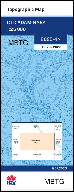
Old Adaminaby 1-25,000 NSW Topographic Map
$16.95 – $29.95
Description:
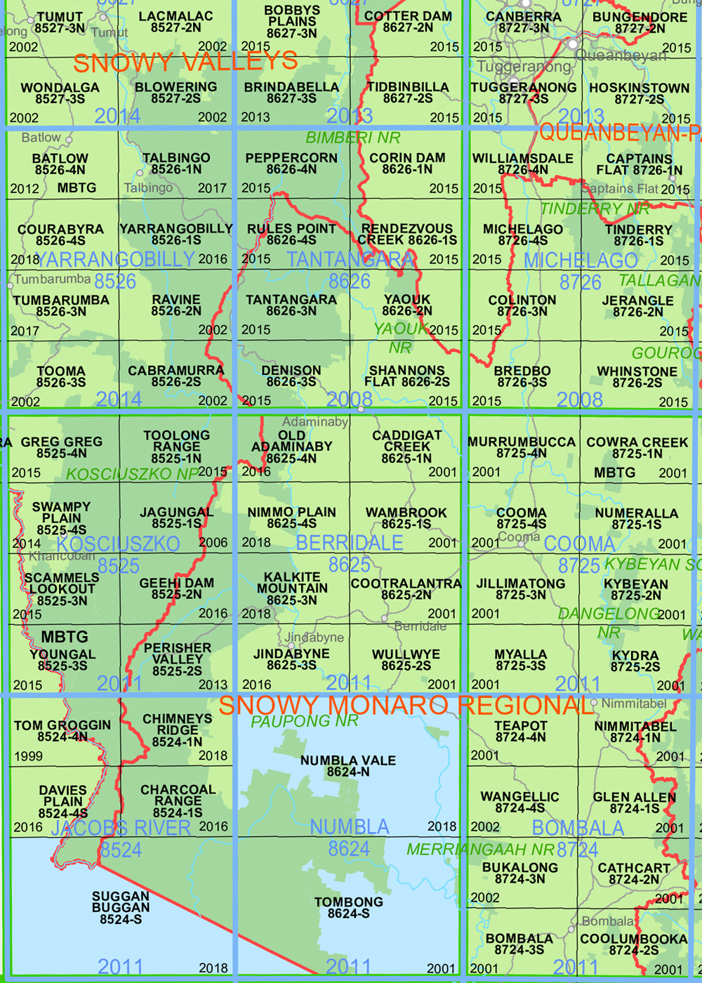
Old Adaminaby 1-25,000 NSW Topographic Map Now Print on Demand 8625-4-N 2022 Edition
Old Amiminaby 1-25,000 scale NSW Topographical map 86254N is used for Walking, 4WD, Fishing, Camping, Motorcycle, both On and Off Road, Gold Prospecting and for those simply going for a family weekend drive.
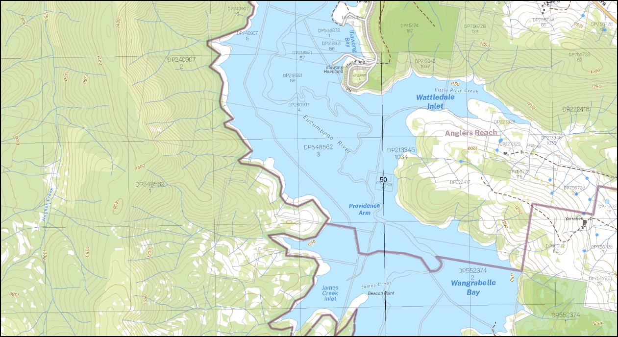
Topographical maps show not only Contours of the Terrain but also Walking Tracks, Sealed and Unsealed Roads, Rivers, Creeks, Lakes, Historical Point of Interest, Old Mine Sites mbtg and National and State Park areas.
Now also available on Waterproof Plastic Paper Folded
Main Features of this map includes:
Old Adaminaby and Anglers Reach Large part of Lake Eucumbene Mount Hudson
AAWT Arsenic Creek Arsenic Ridge Anglers Reach Braemar Creek Andys Creek Andys Inlet Addicumbene Adaminaby Bay Addicumbene Creek Addicumbene Reach Bald Hill Bald Hill Creek Bald Mountain Creek Barnes Creek Barneys Creek Barneys Gap Beacon Point Benefield Benefield Inlet Big Tolbar Creek Big Tolbar Inlet Billyo Cove Bracken Island Braemar Braemar Bay Braemar Head Camping Creek Cemetery Point Cobrabald Bay Cobrabald Mount Cobrabald Collingwood Bay Copper Mine Bay Crooks Racecourse Cygnet Island Eaglehawk Cove Eucumbene Dam Eucumbene Lookout Eurimble Cove Fairway Island Foresters Point Forest Inlet Grace Lea Island Hallstrom Island Hemsby Peninsula mbtg Heron Island Homeleigh Bay Horse Corner Mount Hudson Illawong Headland James Creek James Creek Inlet Jocks Cove Cooloowye Illawong Jocks Arm Koala Point Kyloe Island Lamella Island Little Plain Little Plain Creek Little Tolbar Creek Long Plain Mckeahnies Creek Maurellan Inlet Mays Point Merino Island Middlingbank Reach Namungo Point Observation Point Old Adaminaby Cemetery Portal Branch Portal Inlet Quarry Point Rainbow Point Regatta Point Sanctuary Inlet Seymour Reach Showground Point Snipe Island Snow Vale Springwood Bay Swan Island Teal Island Cape Teviot The Middlingbank Broads Tolbar Point Tolbar State Forest Township Point Trap Creek Wahrane Point Wairuna Point Wallaby Point Wallgrove Peninsula Wandella Inlet Wangrabelle Bay Waterhen Bay Wattledale Inlet Windward Island Wood Duck Bay Wood Duck Point Wyoming Point Yens Bay Yens Cove York Lake York Promontory Dog Trap Creek The Bald Bill Adaminaby Seymour
| Scale: | 1:25,000 |
| Latitude Range: | 36 00.0 S – 36 07.5 S |
| Longitude Range: | 148 30.0 E – 148 45.0 E |
| Approx Print Size: | 0.56m X 1.11m |
| Projection: | Transverse Mercator
GDA 2020 Edition 2022 |
You may also like…
-
Australian Alpine Walking Track Map Set 2
$425.00 – $625.00Select options This product has multiple variants. The options may be chosen on the product page -
Toolong Range 1-25,000 NSW Topographic Map
$16.95 – $29.95Select options This product has multiple variants. The options may be chosen on the product page -
Jagungal 1-25,000 NSW Topographic Map
$16.95 – $29.95Select options This product has multiple variants. The options may be chosen on the product page -
Australian Alpine Walking Track Map Set 1
$390.00 – $600.00Select options This product has multiple variants. The options may be chosen on the product page -
Cunnamulla 1-250,000 Topographic Map
$15.95 – $30.95Select options This product has multiple variants. The options may be chosen on the product page


