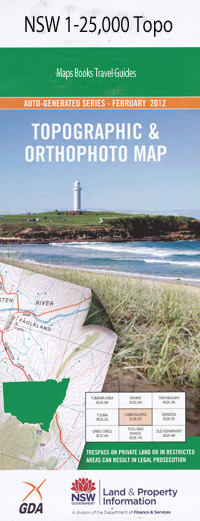
Wollar 1-25,000 NSW Topographic Map
$16.95
Description:
Wollar 1-25,000 scale NSW Topographical map is used for Walking, 4WD, Fishing, Camping, Motorcycle, both On and Off Road, Gold Prospecting and for those simply going for a family weekend drive.
Topographical maps show not only Contours of the Terrain but also Walking Tracks, Sealed and Unsealed Roads, Rivers, Creeks, Lakes, Historical Point of Interest, Old Mine Sites and National and State Park areas.
 We can Now LAMINATE and fold your map for $12.00. Just click on the image and add to the Trolley
Locations within this Map
Bora Creek Carrs Gap Lagoon Creek Moolarban Moolarben Moolarben Creek Moorlarban Creek Murragamba Murragamba Creek Narrow Creek Narrow Flat Planters Creek Planters Flat Spring Creek Spring Flat Tralee Wilpinjong Wilpinjong Creek Wilpinjong or Pipeclay Creek Wollar Wollar Public School Bens Creek Bens Flat Ulan Ulan Creek Cumbo Creek Wollar Creek Hillview
| Scale: | 1:25000 |
| Latitude Range: | 32° 15.0′ S – 32° 22.5′ S |
| Longitude Range: | 149° 45.0′ E – 150° 0.0′ E |
| Datum: | GDA 94 |
| Approx Print Size: | 0.56m X 1.11m |
| Publication Date: | 2013 |

