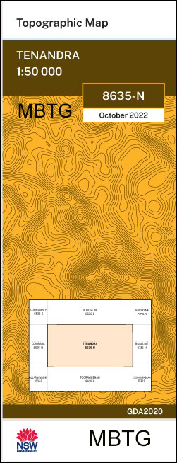
Tenandra 1-50,000 NSW Topographic Map
$16.95 – $28.95
Description:
Tenandra 1-50,00 NSW topographical map 8635N now print on demand
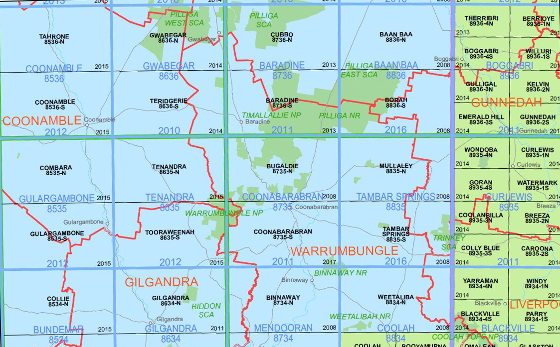
Warrumbungle National Park is covered by the Coonabarabran 1-50,000 , Tooraweenah 1-50,000, Tenandra 1-50,000 and a small section on the Bugaldie 1-50,000 topographic maps
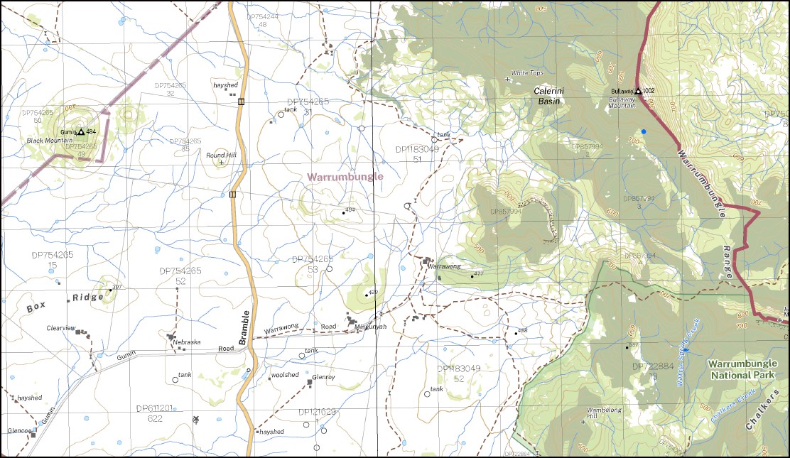
Main Features on this Maps
Calgary Cooba Goobel Moonambil Bretni Federal Park Hillside Wilgadeen Karoo Calga Narritagah North Luanna Anawa Woodbine Warrego Budgerie Calga West Square Mountain Elabang Uliwah Narritagah Blue Hills Doondi Wingidon Goorianawah Wonga Thurloo Mungeri Derra The Valley Milchomi Willow Downs Brolga Nyora Quanda Wilga Vale Narellan Yarranbee Parmedman Digilah Claremont Windemere Pleasant View Sunny Park Walla Walla Bouwick Wilga Downs Bramble The Summit Carlton Silent Dale South Walla Walla Gunnawarra Claraway Mount Bullaway West Guinema Mouragilla Mount Bullaway Penally Rosewood Northwood Kelvin Grove Barambah Mena Nebraska Magunyah Warrawong Bundah Oakwood Stornaway Gumin Wambelong Mount Aranon Aranon Pinnacle Baronne The Basin Black Mountain Black Hollow Black Gutter The Black Gutter Box Hill Box Ridge Branch Creek Mount Bregon Brigalow Brigenbah Creek Brigenbuh Creek Briglo Station Broken Dan Brownes Creek Buchanan Bulgan Creek Bullaway Bullaway Mountain Bullaway Mount Bullawi or Sally Springs Creek Calerini Basin Caleriwi Rock Hole Caleriwi Creek Calga Creek Calga Hill Carwell Chalkers Creek Chalkers Mountain Chalkers Ridge Colwells Gap Crusher Ellis Elongery Siphon Elongery Friend Goorialga Dam Goorianawa Goorianawa Gap Goorianawa Plain Green Hill Iron Pot Pinnacle Jeffs Mountain Left Branch of Calga Creek Right Branch of Calga Creek Mount Exmouth Frazers or Caleriwi Creek Goorianawa Valley Green Mountain Gurealga Dam The Iron Pot Jacks Dam Leslie Little Bullaway Loadstone Hill Looking Glass Creek Looking Glass Mountain Magometon Magometon Hill Magometon Mountain Magomodine Tank Main Camp Dam Middle Creek Milchomi Creek Mount Brecon Mount Tenandra Mount Tenandra Creek Mungery Mungery Creek Mungery Dam Mungery Tank Narratigah Dam Narratagah Dam Narratigah Oaky Creek Parmiduan Parmiduan Creek The Pulpit Quandra Quanda Quanda Quanda Quanda Creek Branch of Quanda Quanda Creek Quanda Creek The Rock Hole Round Hill Ryans Dam Salters Springs Salty Creek Salty Gap Salty Springs Creek Shore Sheep Dam The Siphon Springs Creek Square Top Hill Square Top Mount Stony Creek Tenandra Tenandra Creek Tenandra Hill Tenandra Mount Tenandra State Forest Tenandra Tank Ulomogo Dam Ulundry Wambelong Hill Wattle Spring Wattle Spring Creek White Tops Wingidgeon Gap Worinjerong Woringerong Creek Worinjerong Creek Yearanan Bulyawi or Salty Springs Creek Mount Donn Butterfly Butterfly Waterhole The Black Mountain Square Top Yarrigan Square Top Mountain Frazers Creek Bulyawi Creek Goorlanawa Gap Tenandra Mountain Gumin Gumin
| Name: | Tenandra |
| Publisher: | New South Wales Government |
| Scale: | 1:50,000 |
| Latitude Range: | 31° 0.0′ S – 31° 15.0′ S |
| Longitude Range: | 148° 30.0′ E – 149° 0.0′ E |
| Datum: | GDA 2020 Edition 2022 |
| Approx Print Size: | 0.56m X 1.11m |
You may also like…
-
Tooraweenah 1-50,000 NSW Topographic Map
$16.95 – $28.95Select options This product has multiple variants. The options may be chosen on the product page -
Coonabarabran 1-50,000 NSW Topographic Map
$16.95 – $28.95Select options This product has multiple variants. The options may be chosen on the product page -
Bugaldie 1-50,000 NSW Topographic Map
$16.95 – $28.95Select options This product has multiple variants. The options may be chosen on the product page


