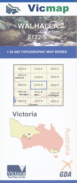
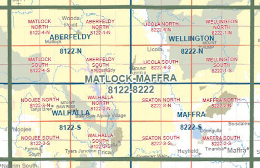
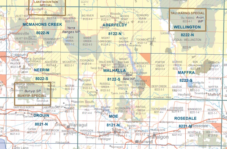
Walhalla 1-50,000 Vicmap 8122-S
$12.00 – $24.00
Description:
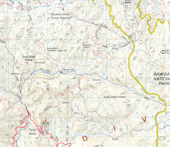
Walhalla 1-50,000 scale Vicmap Topographical map 8122S is used for Walking, 4WD, Fishing, Camping, Motorcycle, both On and Off Road, Gold Prospecting and for those simply going for a family weekend drive.
Topographical maps show not only Contours of the Terrain but Walking Tracks, Sealed and Unsealed Roads, Rivers, Creeks, Lakes, Historical Points of Interest, Old Mine Sites mbtg and National and State Park areas.
Main Features of this map includes:
Walhalla, Erica, Rawson, Happy Go Lucky, Thompson and Aberfeldy Rivers, Tyers Junction, Parts of Moondara State Park, Point Champion and Mushroom Rocks, Numerous Walking Tracks, mbtg, Palmer, Moondarra State Park, Telbit Crossing, Caringal, THE RIGHT EYE, THE LEFT EYE, Buckle Spur, Talbot Hut Ruins Camping Area, Mount Erica, Carrang Carrang State Forest, Eastern Tyers Camping Area, Parkers Corner, Collins Siding, Coopers Creek Historic Area and Mine, Britania Spur, mbtg, Coronation Mine (Disused), Boola Boola State Forest, Bruntons Bridge Campgrounds, Maiden Town, mbtg, Most of Lake Thompson (Thompson Dam), Mount Baw Baw and Baw Baw Village, Beardmore, Beardmore, Store Point, Thompson River and Aberfeldy River, Mount Erica The Morass, Mount Whitelaw, Whitelaw Hut Camping Area, Baw Baw National Park, Pauciflora Flat, McMillans Flat, Baragwanath Fl a t, Moondarra Flat, Tanjil State Forest, Mount Tyers, MOUNT MUELLER, mbtg, MOUNT KERNOT, MOUNT SAINT GWINEAR, Jeep Track Flat, MOUNT SAINT PHILLACK and Camping Area, Rock Shelter Camping Area, Marshall Spur, Cascade Spur Track, Bullers Point Lookout, Cherry Tree Lookout, Muellers, Lookout, Anthill Lookout, Thomson Dam Wall, Barnes Lookout, North Cascade Bridge, Talbot Creek Bridge, Talbot Hut Ruins Camping Area, Carrang Carrang State Forest, mbtg, Mount erica, Thompson Dam Power Station, Butchers Spur, Merringtons Flat, Sullivans, O’tooles Campground, Little O’tooles Campground, Jorgensens Campground, Williamson Spur, Aberfeldy River Camping Area, Holmedale, Barnes Lookout, Aberfeldy Nambruc State Forest, GOONANS Hut, Dawes
Tanjil Bren, Mount Toorongo, Ballantyne Saddle, Toorongo, Kirchubels Tranway and Mill, Davis Mines Sites 1, 2 and 3, Mount Horsfall, Toorongo Falls, mbtg, Noojee, Nerrim North, Neerim State Forest, Hawthorn Creek Reference Area mbtg, Fumina South, Fumina, Pretty Creek Reference Area, Fumina, Russell Creek, mbtg, Fumina South, Fumina, Pretty Creek Reference Area, LATROBE & LOCH RIVERS NOOJEE SSR, mbtg, Hawthorn Creek Reference Area (no public access), Duggan Bridge, Icy Creek, Pretty Creek Reference Area (no public access). BULL BEEF CREEK NCR
You may also like…
-
Walhalla Woods Point Adventure Map Rooftop
$12.95 – $25.00Select options This product has multiple variants. The options may be chosen on the product page -
NEERIM NORTH 1-25,000 Vicmap Topographic Map 8022-2-N
$14.00 – $26.00Select options This product has multiple variants. The options may be chosen on the product page -
Australian Alpine Walking Track Map Set 1
$390.00 – $600.00Select options This product has multiple variants. The options may be chosen on the product page -
Warburton 1-250,000 Topographic Map
$15.95 – $30.95Select options This product has multiple variants. The options may be chosen on the product page -
Walhalla North 1-25,000 Vicmap
$12.00 – $24.00Select options This product has multiple variants. The options may be chosen on the product page -
NEERIM SOUTH 1-25,000 Vicmap Topographic Map 8022-2-S
$14.00 – $26.00Select options This product has multiple variants. The options may be chosen on the product page -
NOOJEE NORTH 1-25,000 Vicmap Topographic Map 8122-3-N
$14.00 – $26.00Select options This product has multiple variants. The options may be chosen on the product page -
Walhalla South 1-25,000 Vicmap
$12.00 – $24.00Select options This product has multiple variants. The options may be chosen on the product page


