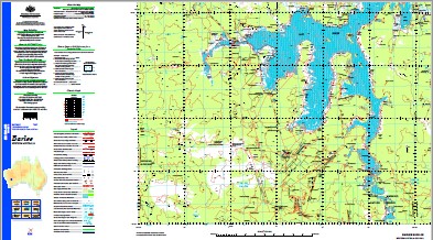
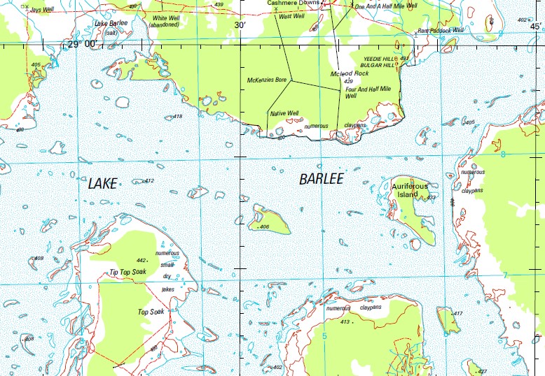
Barlee 1-250,000 Topographic Map
$15.95 – $30.95
Description:
Print on Demand
Locations within this Map
13 1/2 Mile Soak 18 1/4 Mile Granite Rocks 21 Mile Bore 22 Mile Gnamma Hole 25 Mile Granite Rocks 31 Mile Soak 37 Mile Soak 4 1/2 Mile Well 9 Mile Gnamma Hole Airstrip Bore Airstrip Well Auriferous Island Bandy Rock Blue Hill Broad Bents Browns Soak Bulgar Hill Byeang Rock Churchill Bore Clampton Cronin Soak Croobenyer Rockhole Deception Hill Deimel Find Mine Deimels Find Bore Die Hardy Range Diemal Elvire Rock Evanston Gnamma Hole Well Jandy Rock Johnson Rocks Johnson Soak Johnston Range Lake Barlee Lake Giles Malgar Rock Mckenzies Bore Mcleod Rock Milky Soak Mondie Rocks Mount Elvire Mount Geraldine Mount Manning Range Mount Marmion Native Well No. 1 Bore North Panhandle Bore North West Peak Olby Olby Rock Olby Rockholes Panhandle Well Pigeon Rocks Rainy Rocks Retreat Rock Ryans Gnamma Hole South East Peak South End Bore Symonds Toms Rock Trainers Rocks Ularring Ward Springs White Well Wolgling Soak Yarbu Yarbu Gnamma Hole Yeedie Hill Yerramudder Hill Yokradine Hills Yeedie Bulgar Bulgar Brooking Hills Pyeang Rock McLeod Rock Auriffrous Island Woolling Monday Rocks Johnson Range Yokradine Mount King Muddadah Muddahdah
| Name: | Barlee |
| Publisher: | Geoscience Australia (Australian Government) |
| Scale: | 1:250000 |
| Latitude Range: | 29° 0.0′ S – 30° 0.0′ S |
| Longitude Range: | 118° 30.0′ E – 120° 0.0′ E |
| Projection / Datum: | Universal Transverse Mercator, GDA94 |
| Approx Print Size: | 0.44m X 0.67m |
| Publication Date: | 1-Jun-99 |


