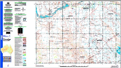
Yowalga 1-250,000 Topographic Map
$15.95 – $30.95
Description:
Print on Demand
Locations within this Map
Tjirrkarli Alexander Spring Blyth Pool Gahnda Rockhole Kanpa Community Lake Gillen Lake Small Manunda Rockhole Mount Allott Mount O’Loughlin Mount Worsnop Murray Creek Narratha Rockholes Rowe Hills Sharpes Bluff Sutherland Range Tjirrkarli Community Woodhouse Lagoon Yowalga Rockholes Boyd Lagoon The Blythe Pool The Blythe Creek Mount OLoughlin Breaden Bluff Muggun Rockhole
| Name: | Yowalga |
| Publisher: | Geoscience Australia (Australian Government) |
| Scale: | 1:250000 |
| Latitude Range: | 26° 0.0′ S – 27° 00.0′ S |
| Longitude Range: | 124° 30.0′ E – 126° 0.0′ E |
| Projection / Datum: | Universal Transverse Mercator, GDA94 |
| Approx Print Size: | 0.44m X 0.67m |
| Publication Date: | 1-Jun-03 |
Read More


