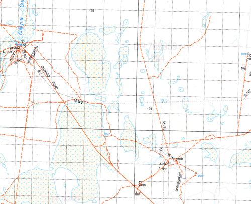
Kango 1-100,000 NSW Topographic Map
$16.95 – $31.95
Description:
Print on Demand
Locations within this Map
Toonborough Gumbalara Emaroo Salt Lake Goolgumbla Bimpero Goorimpa Yamaramie Blackjack Waterhole Camel Lake Coorallie Creek Deadmans Swamp Gumbalara Tank Karnoo Well Branch of Cuttaburra Creek Goomboolara Green Creek Kulkyne Creek Lake Mungundi Lake Waitchie Mungundi Lake Upper Nummo Tank Waitchie Lake Windoole Sand Hill Windoole Waterhole Windole Budtha Waterhole Butha Butha Goothona Goulcoura Gundalie Millara Murlimbilly Partchuka Toolacody Toungourarow Weinercally Byjerk Cahirnane Coorallie Gleena Nummo Carilla Mungundi Binpooker Yamaranie Biparo Tindeanda Momba Windoley Taltowera Cuttaburra Creek Goomboolara Tank The Cuttaburra
| Name: | Kango |
| Publisher: | New South Wales Government |
| Scale: | 1:100000 |
| Latitude Range: | 30° 0.0′ S – 30° 30.0′ S |
| Longitude Range: | 144° 0.0′ E – 144° 30.0′ E |
| Datum: | GDA 94 |
| Approx Print Size: | 0.56m X 0.56m |
Read More


