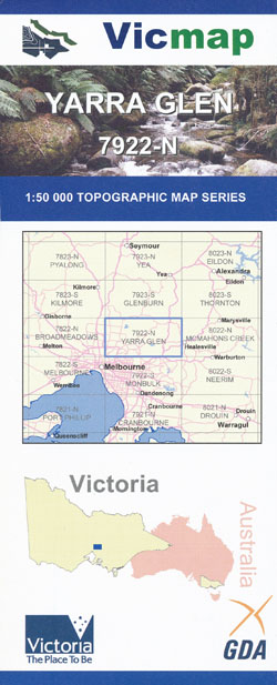
Yarra Glen 1-50,000 Vicmap
$12.00 – $24.00
Description:
Yarra Glen 1-50,000 scale Vicmap Topographical map 7923S is used for Walking, 4WD, Fishing, Camping, Motorcycle, both On and Off Road, Gold Prospecting and for those simply going for a family weekend drive.
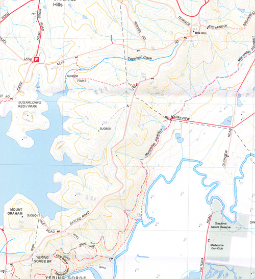
Topographical maps show not only Contours of the Terrain but Walking Tracks, Sealed and Unsealed Roads, Rivers, Creeks, Lakes, Historical Points of Interest, Old Mine Sites mbtg and National and State Park areas.
Main Features of this map includes:
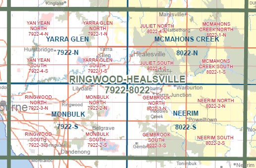
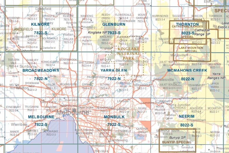
This map covers the North Eastern Suburbs of Melbourne From Thomastown to Chirnside and out to Healesville
Eltham, Warrandyte, Yarra Glen, Kinglake, Yarra River, Yan Tean and Sugar Loaf Reservoirs, Kinglake National Park,, Kinglake Township, Parts of Kinglake National Park, The Pinnacles, Brook Spur, Paul Range State Forest, Cape Horn, Dixons Creek, Strathewan, Strathewan Bush Fire Memorial, St Andrews, Smiths Gully, Toolangi,, mbtg,, Wonga Park, Warrandyte Kinglake NCR Sugarloaf Reservoir, Yarra Glen, Coldstream, Warramate Hills NCR, Maroondah Aquaducr Tunnel, Yering Gorde, Yarra River
Plenty Gorge, Yan Yean Reservoir, Whittlesea, Part of the Kinglake National Park, Arthurs Creek, Cottles Bridge, Howat Lookout, Mernda, mbtg,, Preston to Epping, Panton Hill to Warrandyte, Follows the Yarra River from North of Warrandyte to nearly Heidelberg showing the Yarra Parklands, Plenty Gorge, Diamond Creek, Wattle Glen, Hurstbridge


